Togo presentation
The vector map of Togo presentation showcases the unique geography of this West African nation, located between Ghana to the west and Benin to the east. With coordinates ranging approximately from 6°N to 11°N latitude, it features key points such as Lomé, its capital city, the picturesque Mono River, and borders that define its rich cultural landscape.
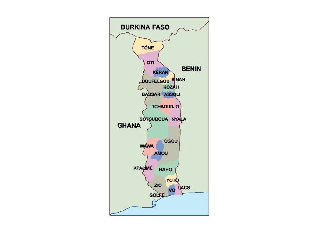
Available in digital formats like EPS and AI Illustrator, the vector map is designed with fully editable layers, making it perfect for customization and detailed presentations. Whether you're a designer, educator, or planner, this map can effortlessly fit your needs.
Upon purchase, you can enjoy instant download through WeTransfer or directly via email, ensuring immediate access to your map. This seamless delivery process allows for quick integration into your projects without delays.
Clients who choose our vector map of Togo presentation receive full reproduction rights, allowing usage across various platforms. Servicing over 140 countries, our map meets diverse needs while ensuring a stunning visual representation of Togo's geography.