Zimbabwe political
The vector map of Zimbabwe political features a detailed representation of the country's geography, located in Southern Africa. It shares borders with Mozambique, South Africa, Botswana, and Zambia. Key geographical highlights include the capital city, Harare, and major rivers such as the Zambezi and Limpopo. With coordinates approximately between 15° and 22° S latitude and 25° and 33° E longitude, this map captures essential features for both educational and professional use.
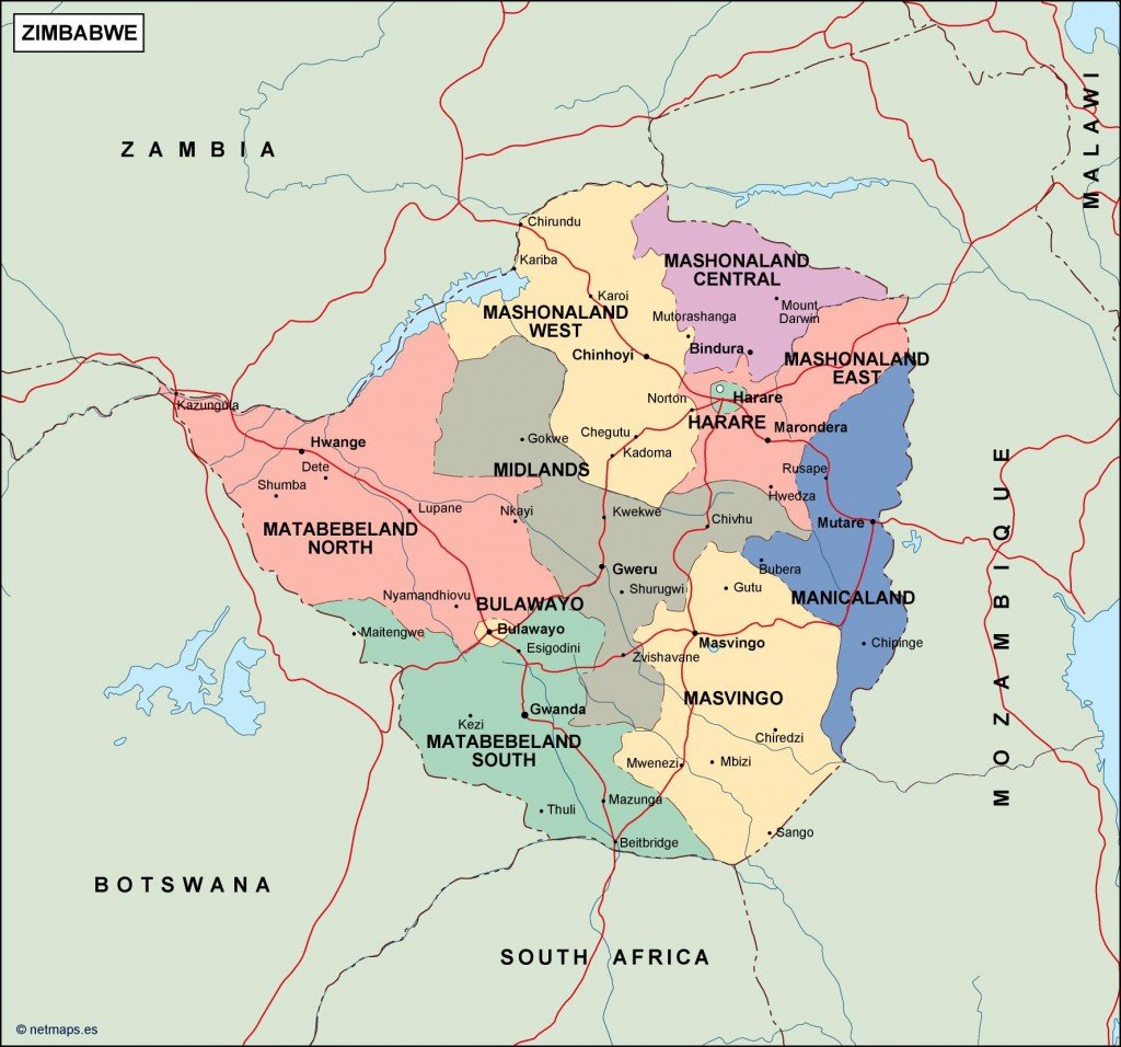
Available in versatile digital formats like EPS and AI Illustrator, this vector map is designed with fully editable layers, making it easy for users to customize and enhance their projects. Whether you require adjustments for presentations, reports, or web design, the flexibility of this map ensures it meets diverse needs.
Customers can enjoy the convenience of instant download via WeTransfer and email, facilitating immediate access to this essential resource. This seamless delivery method ensures that you can begin utilizing the map without delay, enhancing productivity.
When purchasing this vector map of Zimbabwe political, clients receive full reproduction rights, allowing for unrestricted use in various projects. With a growing customer base in over 140 countries, this product is trusted by professionals worldwide, ensuring high-quality maps are readily available for different applications.