Philippines
The vector map of the Philippines showcases the archipelagic geography of this Southeast Asian country, comprising over 7,000 islands. Located in the western Pacific Ocean, the Philippines is positioned between latitudes 4° and 21°N and longitudes 116° and 127°E. Key features on the map include major cities like Manila, stunning rivers such as the Cagayan River, and bordering countries like Taiwan to the north.
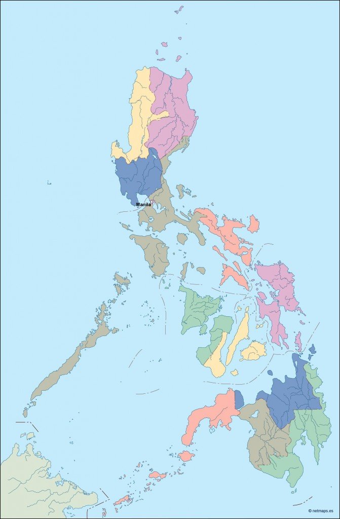
Available in digital vector formats like EPS and AI Illustrator, this versatile map offers fully editable layers, making it perfect for customization to suit any project. Graphic designers, cartographers, and businesses can easily manipulate the layers for their specific needs.
Upon purchase, you receive an instant download link via WeTransfer or email, ensuring you can access your vector map of the Philippines without delay.
With full reproduction rights included, our vector maps are utilized by clients in over 140 countries, empowering you to use them confidently in any setting.