Canada blind
The vector map of Canada blind offers a comprehensive geographical representation, showcasing the country’s diverse landscapes and key features. Canada, located in North America, spans from the Atlantic to the Pacific and Arctic Oceans, with coordinates ranging approximately from 42°N to 83°W. Notable points include major cities like Toronto and Vancouver, extensive rivers such as the Ottawa River, and its vast border with the United States.
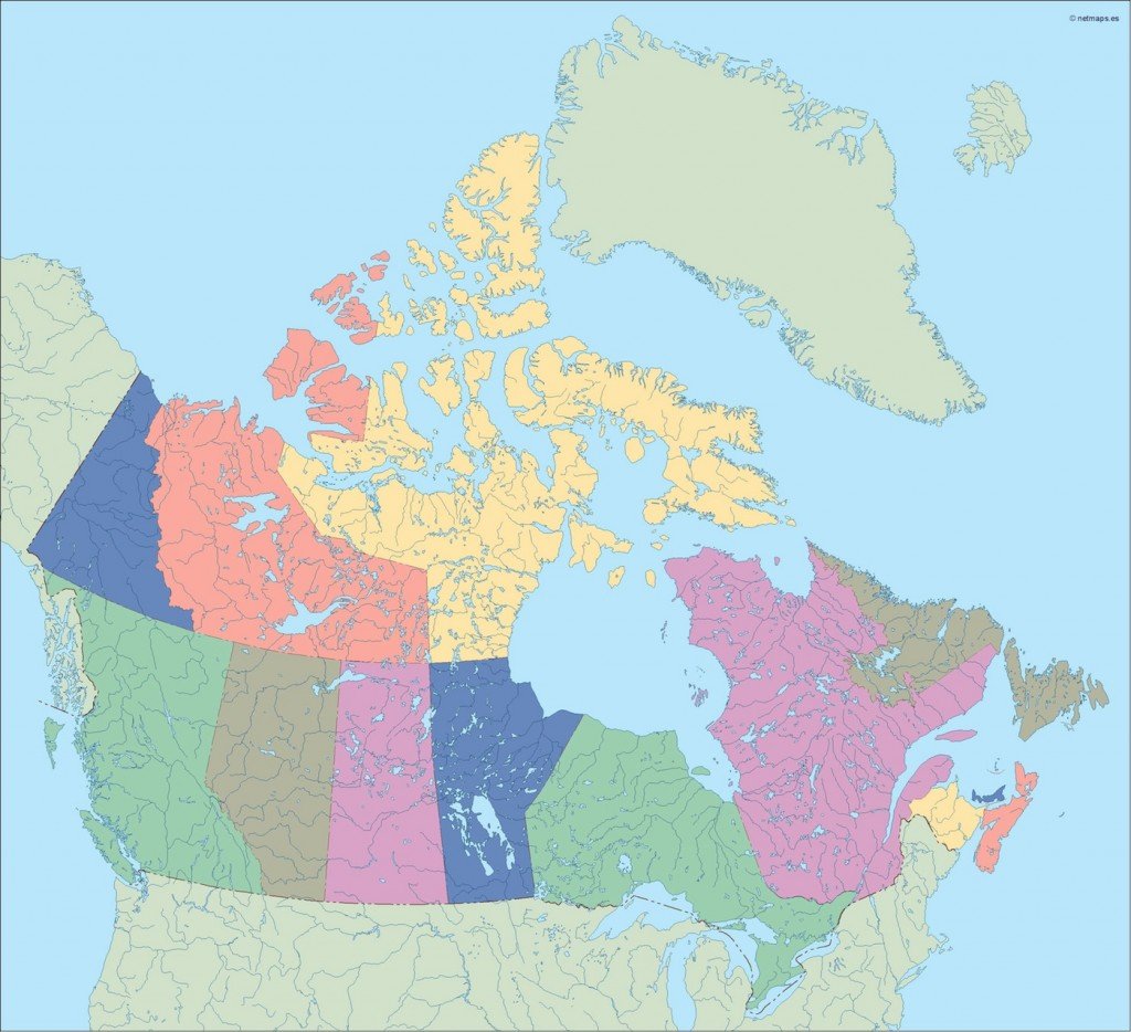
Available in digital formats like EPS and AI Illustrator, this vector map ensures full editability. Designers can easily manipulate fully editable layers to suit their specific tasks, making it an invaluable resource for creative projects.
Delivery of the Canada blind vector map is hassle-free, with instant download options available via WeTransfer and email, allowing you to start your project immediately without delay.
Clients enjoy full reproduction rights, making this vector map perfect for various applications worldwide, including those in over 140 countries. Start creating with our vector map of Canada today.