Cote ivoire presentation
Discover the dynamic vector map of Côte d'Ivoire, showcasing its unique geography. This West African nation, located between latitudes 5° and 11° N and longitudes 2° and 8° W, boasts vibrant cities like Abidjan and Yamoussoukro, alongside significant rivers such as the Bandama and Comoé. Its borders touch Ghana, Burkina Faso, and Liberia, making it a central hub in the region.
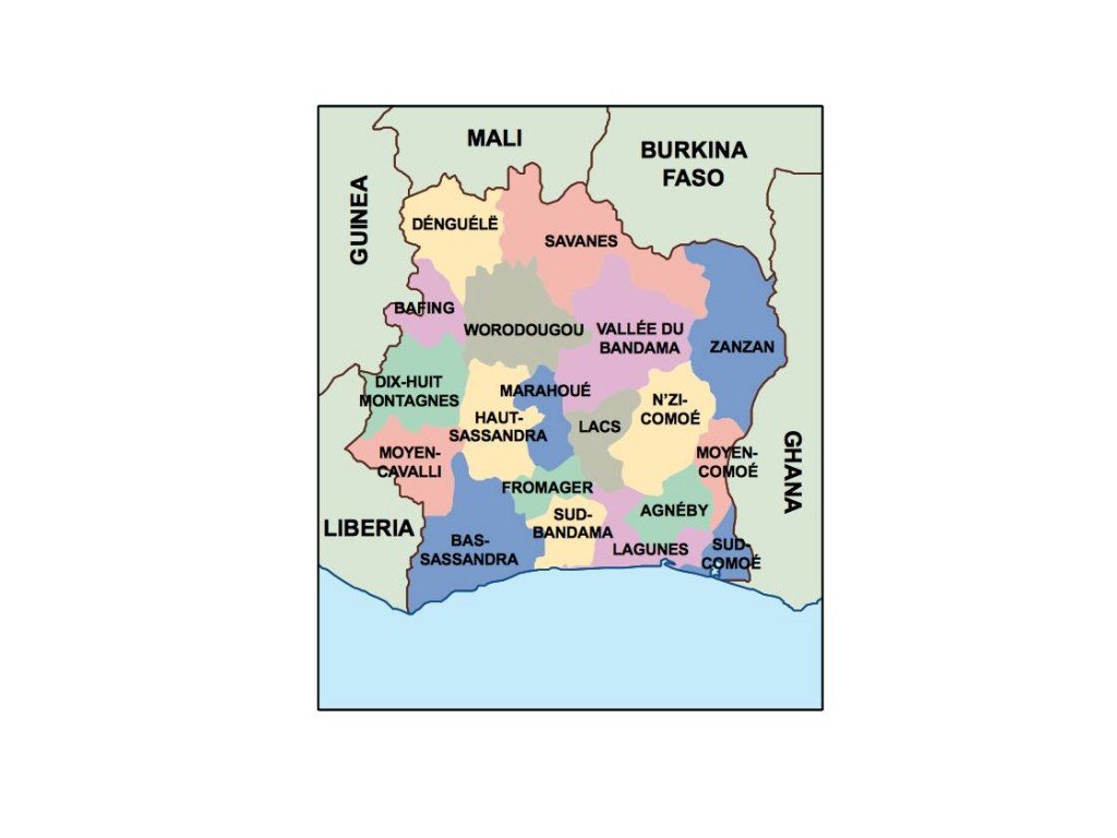
Our Côte d'Ivoire vector presentation is available in versatile digital formats like EPS and AI Illustrator, ensuring fully editable layers for seamless customization. Whether you're crafting a detailed report or an artistic project, this map provides the flexibility to meet your needs.
Enjoy the convenience of instant download via WeTransfer and email, allowing you quick access to your Côte d'Ivoire vector map. No delays mean you can get started on your project right away.
With full reproduction rights included, this vector map empowers clients in over 140 countries to utilize it as they please. Enhance your designs and presentations with this versatile Côte d'Ivoire map today!