Andorra presentation
Discover the stunning vector map of Andorra, a picturesque microstate nestled in the Pyrenees mountains between France and Spain, with coordinates at 42.5462° N latitude and 1.6016° E longitude. This rich geographic representation highlights key points, including the capital city of Andorra la Vella, the Valira River, and its scenic borders, showcasing the unique beauty of this European gem.
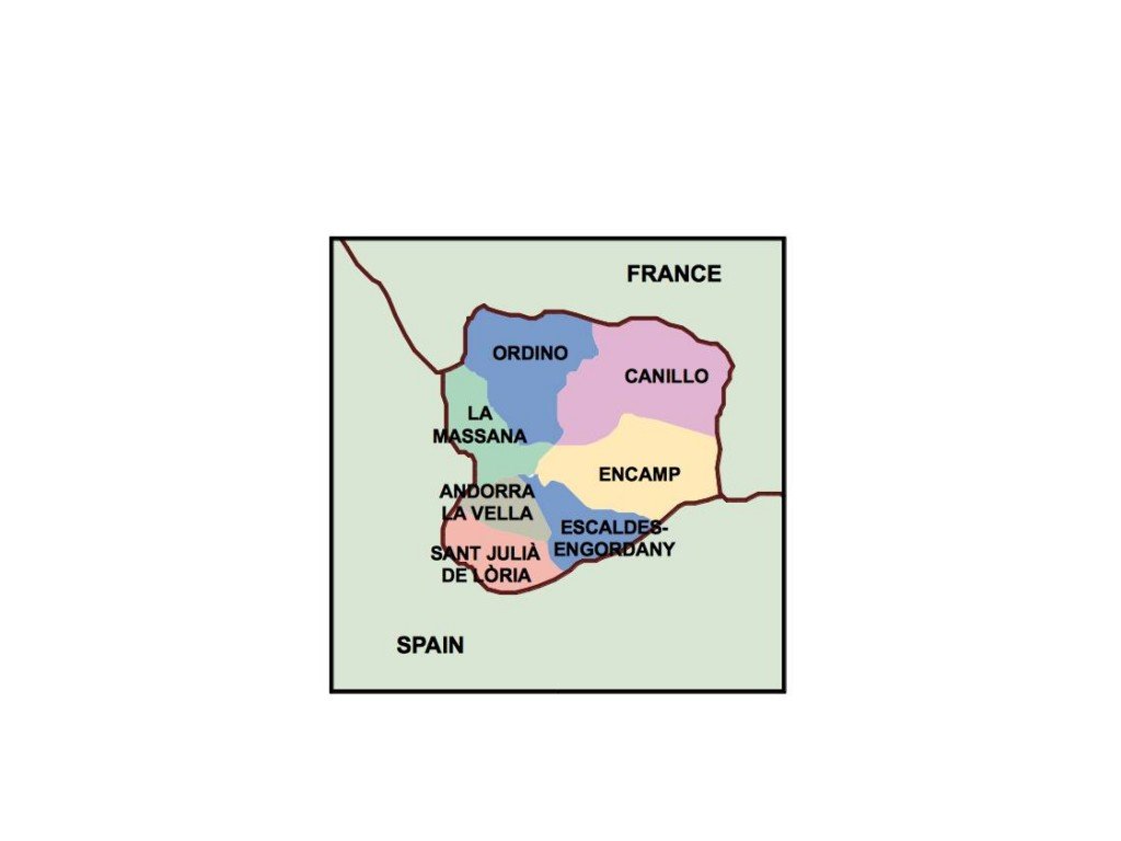
Our vector map is available in versatile formats like digital EPS and AI Illustrator, allowing seamless integration into your projects. Each map features fully editable layers, making it easy to customize for personal or professional uses, ensuring compatibility with your design needs.
Enjoy the convenience of instant delivery, as our vector map of Andorra can be downloaded effortlessly via WeTransfer or directly through email. This user-friendly process allows you to access high-quality geographical resources on demand.
We provide full reproduction rights with our vector maps, empowering clients in over 140 countries to utilize this essential resource creatively. With no restrictions on usage, you can confidently incorporate the vector map of Andorra into your presentations and designs.