Equatorial guinea presentation
The vector map of Equatorial Guinea presentation showcases the country’s distinctive geography, located on the west coast of Central Africa. Spanning coordinates 1.5° N latitude and 9.7° E longitude, it includes vital landmarks such as the capital city, Malabo, situated on Bioko Island, and essential rivers like the Njogu River. The borders are well-defined, making it an ideal practical tool for navigation and education.
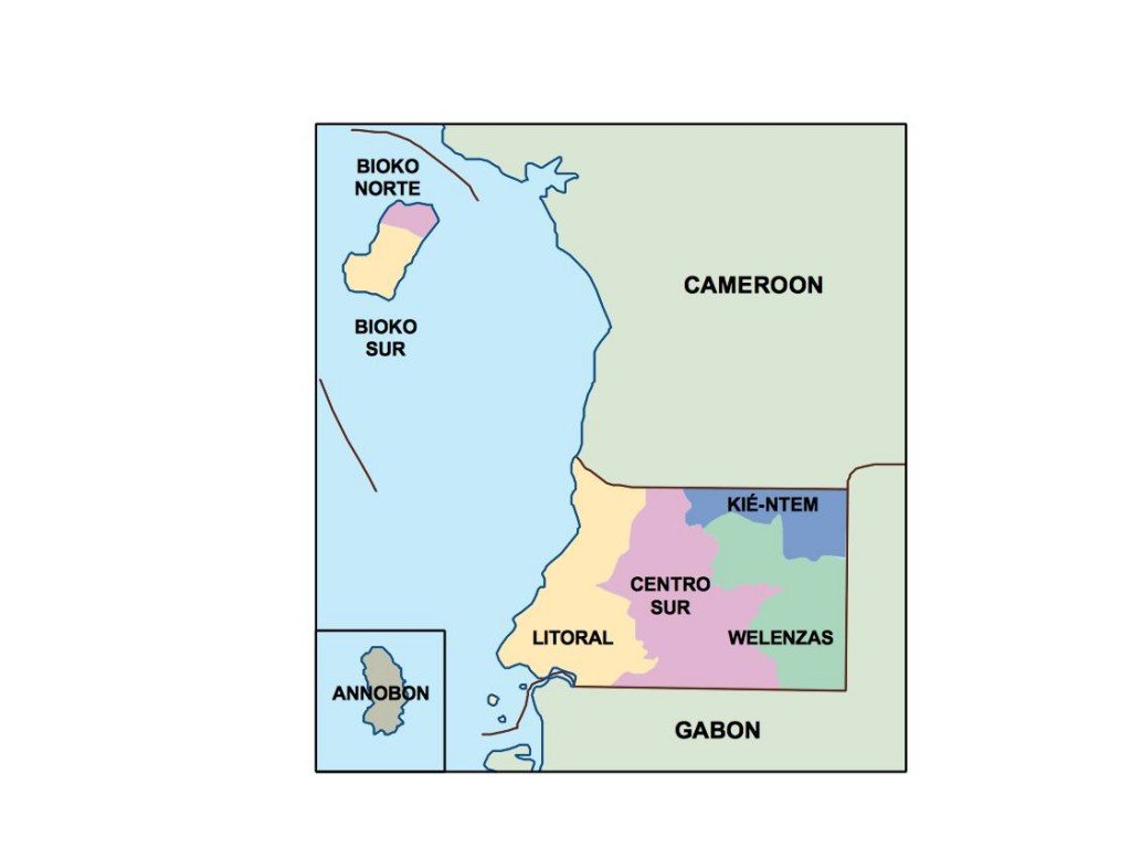
Available in digital formats like EPS and AI Illustrator, the map features fully editable layers, allowing for customized presentations. Users can easily modify colors, labels, and details to suit their specific needs, enhancing the usability of the vector map of Equatorial Guinea.
Upon purchase, the vector map can be instantly downloaded via WeTransfer or emailed directly, ensuring immediate access for professionals and creatives alike. This streamlined delivery method makes it convenient to begin work right away.
Clients enjoy full reproduction rights, adding tremendous value to their investment. With over 140 countries represented, our vector map service reaches a global audience, catering to diverse projects in education, planning, and geographic analysis.