Mapa municipios illes balears
The vector map of "Mapa municipios Illes Balears" showcases the stunning geographical features of this Spanish archipelago, located in the Mediterranean Sea. Comprising four main islands—Mallorca, Menorca, Ibiza, and Formentera—the map highlights key points like coastal cities, rivers, and borders, providing a comprehensive overview of this beautiful region. The coordinates of the center of the islands are approximately 39.5° N latitude and 3.2° E longitude, making it an ideal resource for travelers and researchers alike.
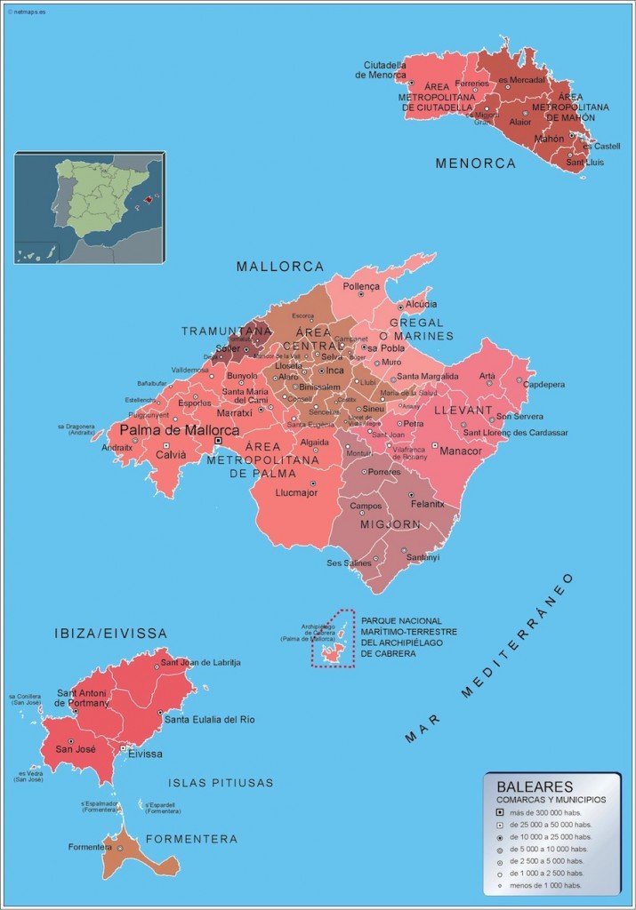
Available in digital vector formats like EPS and AI Illustrator, the "Mapa municipios Illes Balears" is designed with fully editable layers. This means you can customize features, colors, and details according to your project's needs, ensuring a seamless integration into your artistic or professional work.
Our delivery options include instant download via WeTransfer and email, making it incredibly convenient for users to obtain their "Mapa municipios Illes Balears" swiftly. Whether you're working on a presentation, travel guide, or educational resource, you'll receive your map promptly and hassle-free.
When it comes to usage rights, we provide full reproduction rights, allowing clients from over 140 countries to utilize the "Mapa municipios Illes Balears" without restrictions.