Rwanda presentation
Rwanda, located in East Africa, is renowned for its stunning geography, characterized by its rolling hills and picturesque lakes. Bordered by Uganda, Tanzania, Burundi, and the Democratic Republic of the Congo, its coordinates are approximately 1.9403° S latitude and 29.8739° E longitude. Notable cities like Kigali and key rivers such as the Nyabarongo define its landscape, making this vector map of Rwanda a crucial tool for presentations focused on geography and urban planning.
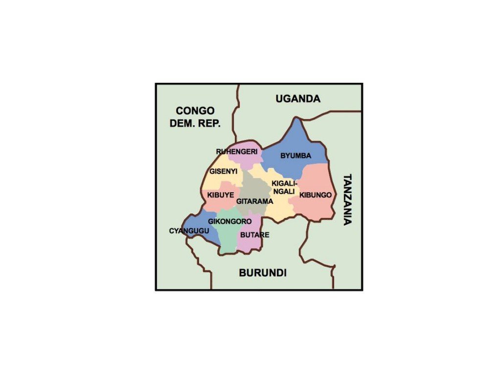
The vector map of Rwanda is available in versatile formats, including digital EPS and AI Illustrator files, which ensure full compatibility with various design software. Each layer is fully editable, allowing users to customize the map according to their specific needs, making it perfect for detailed presentations or creative projects.
Upon purchase, the map is delivered instantly via WeTransfer and email, ensuring that you have immediate access to the necessary files. This quick delivery service allows you to commence your projects without unnecessary delays.
With full reproduction rights included, this vector map of Rwanda is ideal for clients in over 140 countries. Whether for educational, professional, or artistic purposes, you can utilize this map confidently, knowing you have the rights needed for your creative endeavors.