Trondheim kart
Trondheim kart is a vibrant vector map of Trondheim, located in Norway. Situated in Trøndelag county, this historic city is nestled along the banks of the Nidelva River, providing a picturesque landscape enhanced by nearby fjords. The coordinates of Trondheim are approximately 63.4305° N latitude and 10.3951° E longitude, making it an essential reference point for exploring Norway's rich heritage and natural beauty.
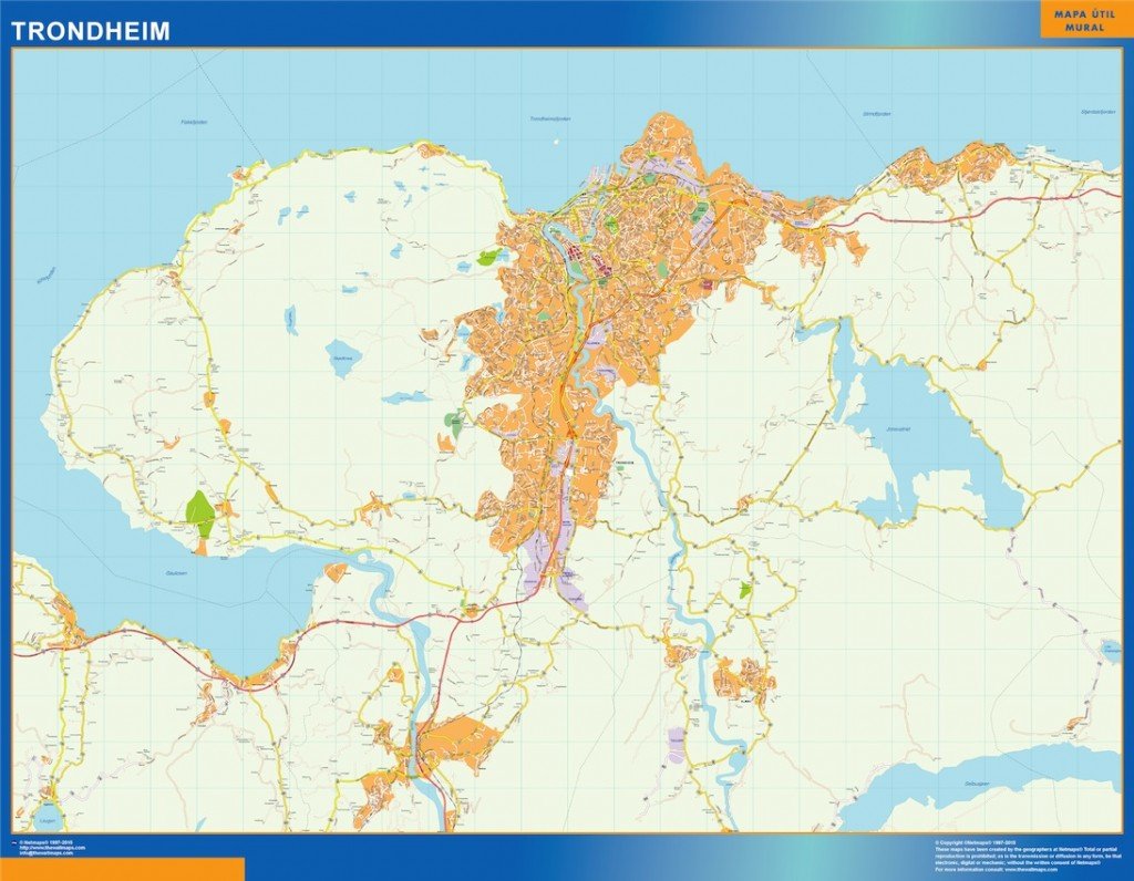
The Trondheim kart is available in versatile formats, including digital vector EPS and AI Illustrator files. These formats ensure that the map features fully editable layers, allowing designers and content creators to customize the map efficiently for various uses, from professional presentations to educational materials.
Upon purchase, you can enjoy instant delivery of the Trondheim kart via WeTransfer and email. This efficient delivery method guarantees quick access to your vector map, allowing you to start your project without delay.
Clients from over 140 countries benefit from full reproduction rights included with the Trondheim kart purchase. This means you can confidently utilize the detailed vector map for business, marketing, or personal projects without legal concerns, making it an invaluable asset for global users.