Mapa municipios ciudad real 2025-12-01 00:00:19
The vector map of 'Mapa municipios Ciudad Real' showcases a detailed representation of this Spanish province, located in the heart of Castilla-La Mancha. Nestled between the Sierra de Alcaraz and the Ciudad Real river, it features key towns such as Ciudad Real, Puertollano, and Manzanares. The map’s precise coordinates allow for easy navigation and exploration of the region's vibrant geography and historical sites.
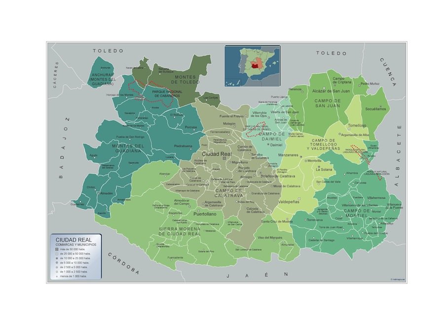
Available in versatile formats including digital vector EPS and AI Illustrator, the map offers fully editable layers for customization. Users can effortlessly modify colors, labels, and features to suit their specific needs, making it a valuable tool for professionals and enthusiasts alike.
Upon purchase, customers can expect an instant download via WeTransfer or email, ensuring immediate access to the map for various applications, from urban planning to educational resources.
With full reproduction rights included, this vector map of 'Mapa municipios Ciudad Real' serves clients in over 140 countries, empowering them to use it freely for diverse projects without restrictions.