Uruguay
Uruguay is a picturesque country located in the southeastern part of South America, bordered by Brazil to the north and Argentina to the west. Known for its stunning coastline along the Atlantic Ocean, this nation features key geographic points like the capital city, Montevideo, and the majestic Río Uruguay. The coordinates for Uruguay roughly range from 30° to 35° South latitude and 53° to 58° West longitude, providing a unique landscape that includes rolling hills and fertile plains.
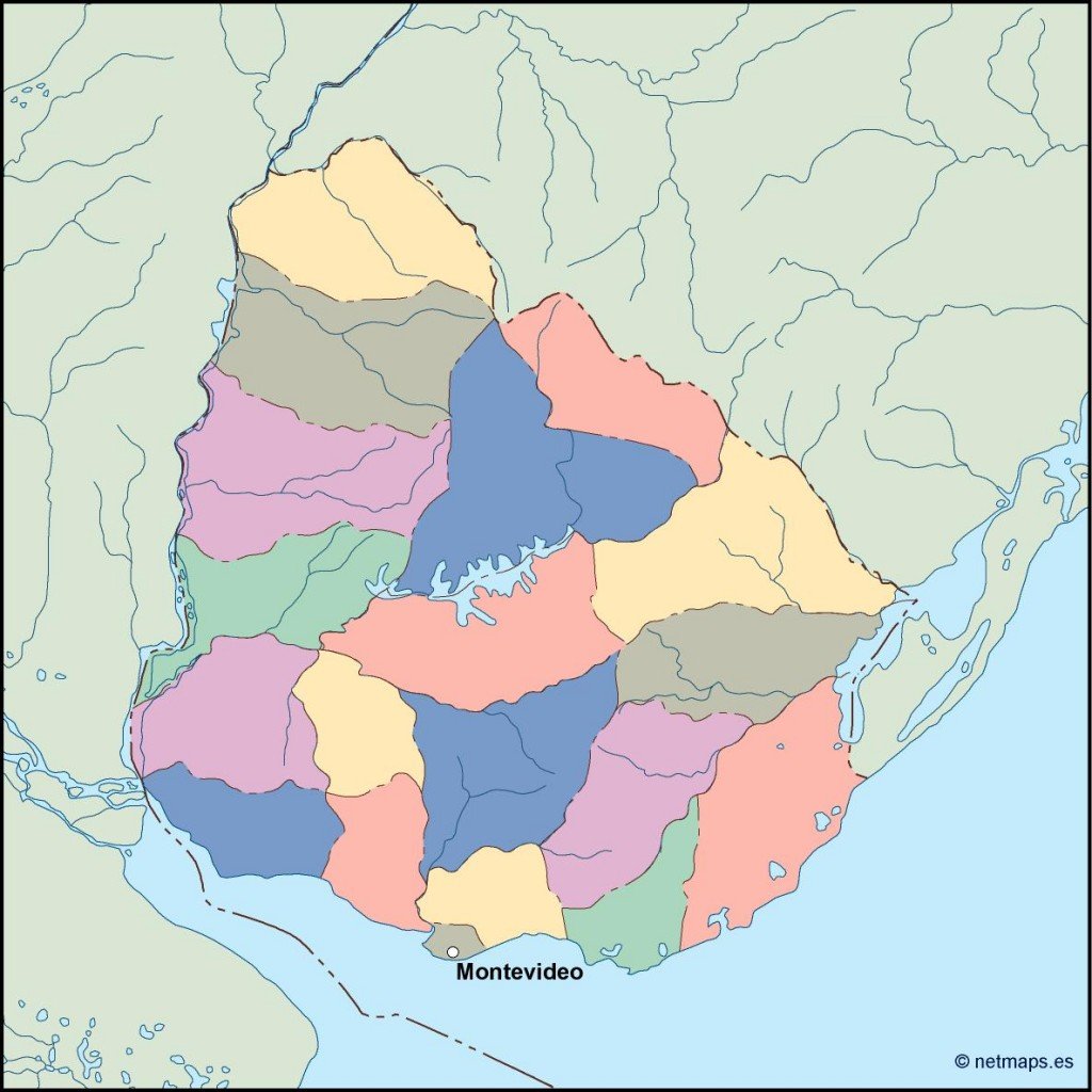
The Uruguay vector map is available in various digital formats, including EPS and AI Illustrator, allowing for complete customization and editing. With fully editable layers, users can easily tailor the map to their specific needs, making it perfect for businesses and educational purposes.
Upon purchase, clients can enjoy the convenience of instant delivery via WeTransfer and email, ensuring quick access to their digital vector map of Uruguay. This streamlined process makes it easy to integrate the map into presentations, reports, or marketing materials without delay.
When acquiring the vector map, clients receive full reproduction rights, allowing for extensive use without restrictions. With a customer base that spans over 140 countries, our high-quality maps cater to diverse industries and applications, making them a valuable asset for anyone seeking to showcase Uruguay's geography effectively.