Czestochowa mapy ścienne
Discover the detailed vector map of Czestochowa mapy ścienne, showcasing this vibrant city located in southern Poland, within the Silesian Voivodeship. Famous for its stunning Black Madonna shrine, Czestochowa is positioned at coordinates 50.8117° N latitude and 19.1206° E longitude. The Warta River gracefully meanders through the city, while its proximity to the border of the Czech Republic enhances its geographical significance.
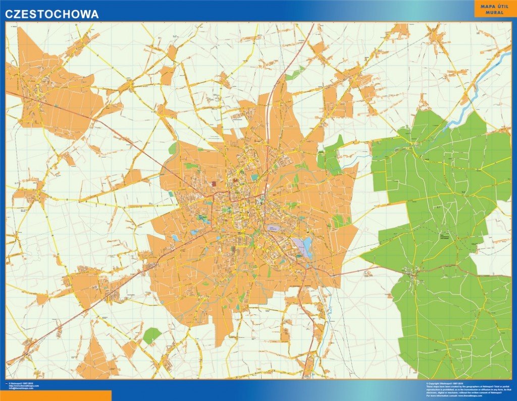
Our vector map is available in popular digital formats, including EPS and AI Illustrator, allowing for seamless editing and customization. Each layer is fully editable, providing you the flexibility to modify the design to suit your project's needs. Create a unique representation of Czestochowa with ease using this versatile mapping solution.
Enjoy instant access to your vector map of Czestochowa mapy ścienne, available for quick download via WeTransfer or email. With our efficient delivery system, you can start your projects without delay, ensuring you have the resources when you need them most.
Feel confident in your purchase with full reproduction rights included, giving clients in over 140 countries the freedom to use the vector map for various applications. Whether for personal, commercial, or educational purposes, the Czest