Belgium presentation
The vector map of Belgium presentation showcases this central Western European country, bordered by France, Germany, Luxembourg, and the Netherlands. With coordinates approximately 50.8503° N latitude and 4.3517° E longitude, key points of interest include the vibrant city of Brussels, the picturesque River Meuse, and historic landmarks. This detailed map is an essential resource for anyone interested in understanding Belgium's geography.
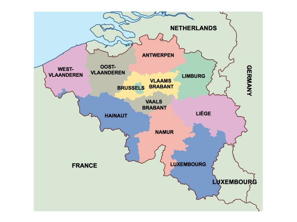
Available in digital vector formats such as EPS and AI Illustrator, the map features fully editable layers, allowing for customization and integration into various design projects. Whether you are creating promotional materials or educational content, this adaptable vector map ensures versatility and precision.
Delivery is seamless with instant downloads available via WeTransfer and email, providing immediate access to your project needs without any delay. You can start working with the map right away.
When you purchase the vector map of Belgium, full reproduction rights are included, enabling clients from over 140 countries to use it freely in their endeavors. This makes it an invaluable resource for businesses and individuals alike seeking high-quality geographic representations.