Essen karte
Essen, located in Germany's North Rhine-Westphalia region, boasts coordinates of 51.4554° N latitude and 7.0115° E longitude. This vibrant city, rich in industrial history, lies along the banks of the Ruhr River, providing easy access to neighboring areas. Key points in Essen include its iconic Zollverein Coal Mine and the lush green spaces in the surrounding region, making it a focal point for both culture and recreation.
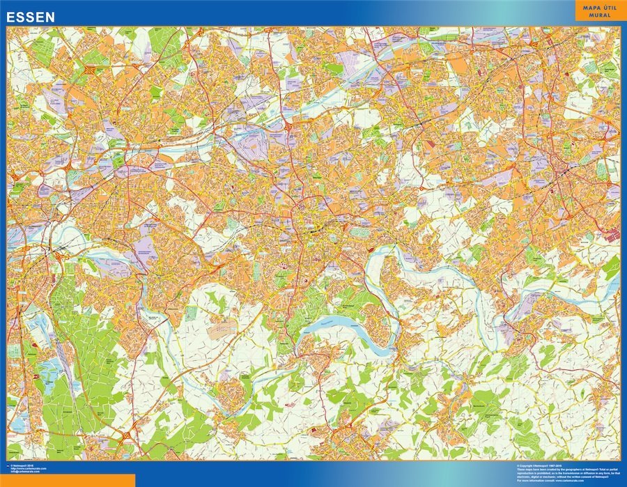
Our vector map of Essen is available in multiple formats, including digital vector EPS and AI Illustrator files, ensuring full compatibility with various design software. Each map features fully editable layers, allowing users to customize their projects seamlessly. Whether you are a designer, planner, or educator, our vector maps make it easy to visualize and manipulate geographic data.
Delivery is made simple with instant access to your purchased vector map via WeTransfer and email. This ensures that you can start your project without delay, receiving high-quality files directly to your inbox. Get the Essen karta today and elevate your presentations or designs with stunning geographical accuracy.
When you purchase our vector map of Essen, you receive full reproduction rights, allowing you to use the map in various projects without restrictions. We proudly serve clients in over 140 countries,