Carte bruxelles
The vector map of 'Carte Bruxelles' showcases the vibrant capital of Belgium, located in the heart of Europe. Nestled in the Brussels-Capital Region, this city is situated at coordinates 50.8503° N latitude and 4.3517° E longitude. Key landmarks highlighted in the map include the iconic Atomium, the picturesque Senne River, and the borders separating Brussels from surrounding regions, providing a comprehensive view of the city’s geography.
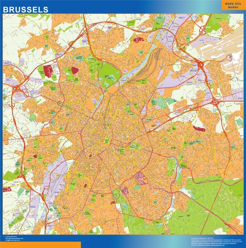
Available in versatile digital formats such as EPS and AI for Adobe Illustrator, the 'Carte Bruxelles' vector map is designed with fully editable layers. This allows users to customize elements easily, making it perfect for urban planners, designers, and educators seeking an accurate representation of Brussels.
Delivery is seamless with instant download options via WeTransfer and email, ensuring you get your vector map quickly and efficiently. Whether for professional projects or personal use, our user-friendly delivery system enhances convenience.
With full reproduction rights included, clients from over 140 countries can utilize the 'Carte Bruxelles' vector map without restrictions. This comprehensive license empowers you to explore and represent the beauty of Brussels through your creative projects.