Nauru presentation
Nauru, an island country in Micronesia in the Central Pacific, is located at coordinates 0.52° S latitude and 166.92° E longitude. It is the world’s third smallest country, known for its striking landscapes, including coral reefs and phosphate mines. The capital city, Yaren, is located on the southern part of the island. This vector map of Nauru presentation highlights key geographical features, making it an essential resource for cartographers and educators alike.
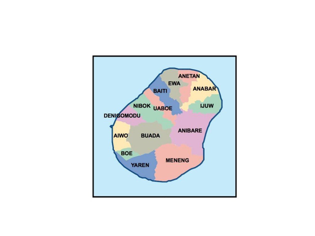
Available in versatile formats such as digital vector EPS and Adobe Illustrator AI, this map offers fully editable layers that facilitate customizations. Whether for educational purposes or professional presentations, the Nauru vector map caters to diverse needs with high-quality design elements. Users can easily manipulate geographic data for various applications.
Instant download options are available through WeTransfer and email, ensuring quick access to your Nauru vector map. This efficient delivery system allows clients to integrate the map into their projects without delay, streamlining the workflow for designers and educators.
Clients benefit from full reproduction rights, allowing them to use the vector map of Nauru without restrictions in over 140 countries. This ensures that professionals worldwide can leverage the detailed geographical representation while maintaining legal compliance. This N