Uganda political
Uganda, located in East Africa, is a landlocked country bordered by Kenya, South Sudan, the Democratic Republic of the Congo, Rwanda, and Tanzania. Its geographical coordinates are approximately 1.3733° N latitude and 32.2903° E longitude. The country boasts significant landmarks such as Lake Victoria, the Nile River, and the bustling capital city, Kampala, making it a pivotal region in Africa.
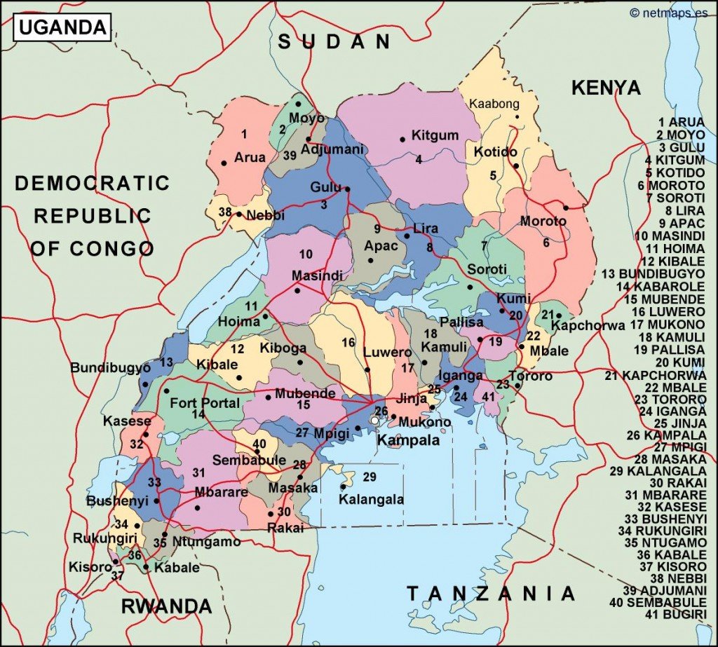
Our Uganda political vector map is available in versatile formats, including digital vector EPS and AI Illustrator files, ensuring compatibility with various design software. Each map includes fully editable layers, allowing users to customize their maps according to their specific needs.
For your convenience, we offer instant download via WeTransfer and email, so you can access your Uganda political vector map immediately after purchase. This ensures that you have the resources you need right at your fingertips.
With full reproduction rights included, our maps serve clients in over 140 countries, empowering you to create professional presentations, educational materials, and more with our high-quality Uganda political vector maps.