Haiti presentation
Haiti is a Caribbean nation occupying the western third of the island of Hispaniola, bordered by the Dominican Republic to the east. With coordinates at approximately 18.9712° N latitude and 72.2854° W longitude, Haiti features major cities such as Port-au-Prince, and key rivers like the Artibonite. Its unique geography makes it a fascinating subject for a vector map presentation focused on this vibrant country.
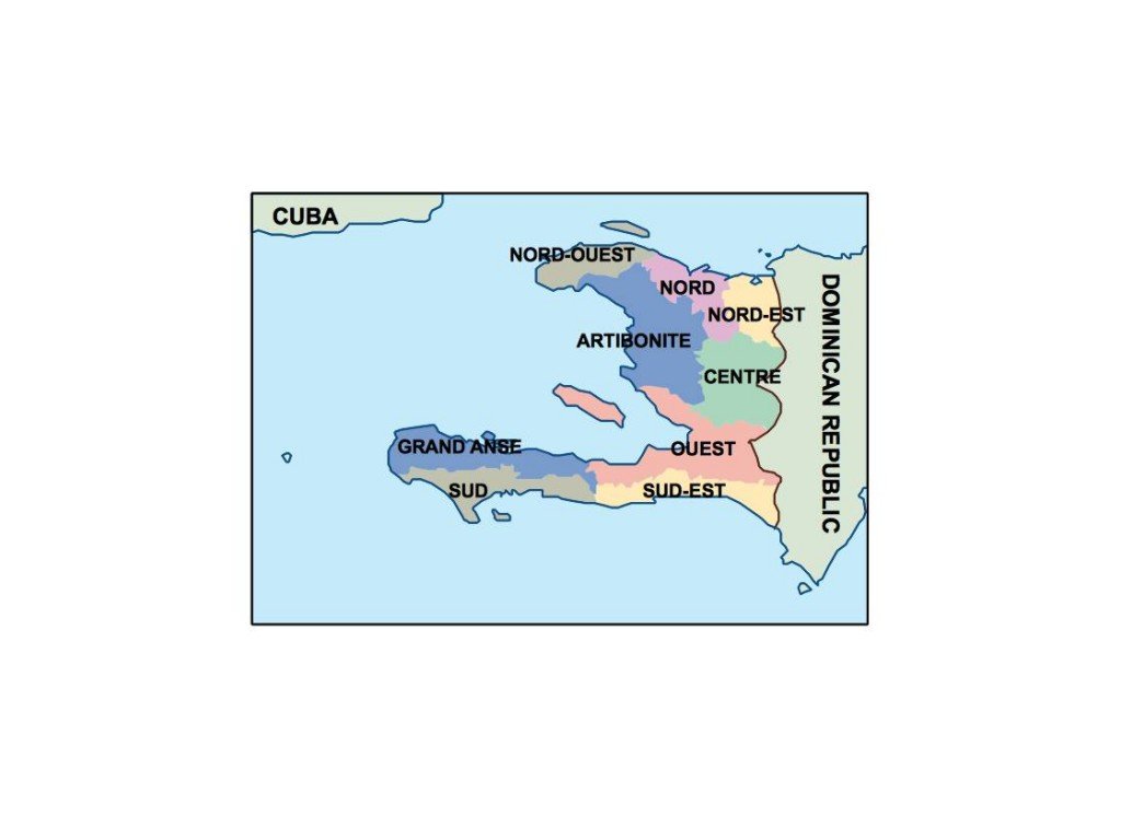
The vector map of Haiti is available in various digital formats, including EPS and AI Illustrator. It features fully editable layers, giving you the flexibility to customize and adapt the map to your specific needs, ensuring a seamless integration into your projects.
Delivery is made convenient, with instant downloads available via WeTransfer and email. This allows you to access your vector map quickly and effortlessly, ready for immediate use in professional presentations or designs.
Clients enjoy full reproduction rights with their purchase, making it easy to utilize the map in various projects. With a satisfied customer base across over 140 countries, this vector map ensures that your projects can have a global reach.