Hungary political
Hungary, located in Central Europe, is bordered by Austria, Slovakia, Ukraine, Romania, Serbia, Croatia, and Slovenia. Its coordinates are approximately 47.1625° N latitude and 19.5033° E longitude. Key geographical features include the majestic Danube River, which flows through its capital city, Budapest, and several other important cities like Debrecen and Szeged, making this political vector map essential for understanding the nation's layout.
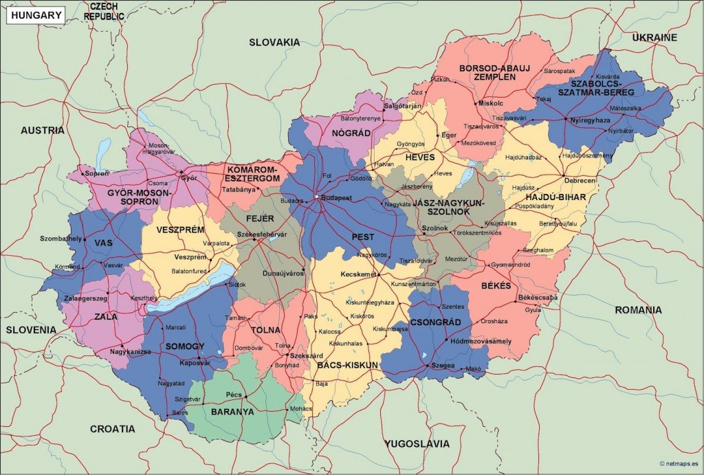
Our vector map of Hungary is available in versatile formats such as digital vector EPS and AI Illustrator files, ensuring that you have fully editable layers at your disposal. This flexibility allows for easy customization and integration into various design projects, catering to both professional and personal needs.
Once you purchase the vector map, enjoy an instant download via WeTransfer and email for immediate access. This streamlined delivery process ensures you can start using your Hungary political map right away without delays.
With full reproduction rights included, our clients in over 140 countries can confidently use our map for business, education, or creative projects. Unlock the potential of your designs with our detailed, editable vector map of Hungary today.