Burundi
Burundi is a landlocked country in East Africa, bordered by Rwanda to the north, Tanzania to the east, and Lake Tanganyika to the west. With coordinates approximately 3.3732° S latitude and 29.9189° E longitude, its key geographical features include the capital city, Gitega, and the Ruzizi River and the impressive mountainous terrain. The region offers a rich cultural heritage and natural beauty, making it an intriguing destination.
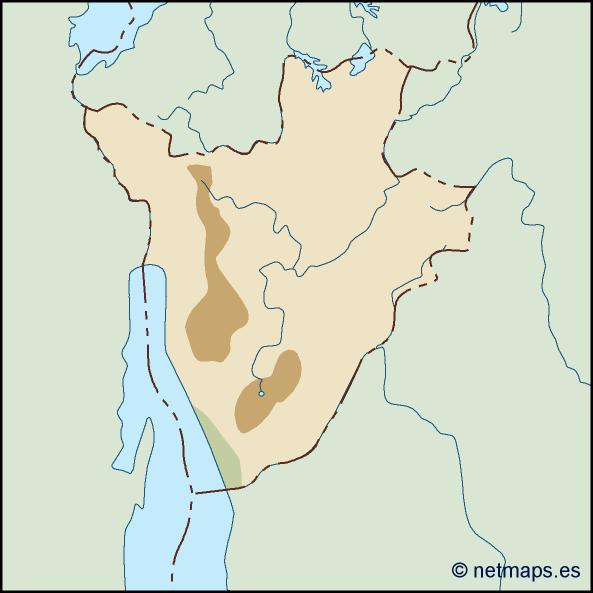
The vector map of Burundi is available in premium digital formats, including EPS and AI Illustrator, ensuring compatibility with various design software. This fully editable layers feature allows users to customize the map, perfect for creating detailed presentations or marketing materials focused on this unique East African nation.
Upon purchase, clients receive their vector map of Burundi via instant download through WeTransfer and email, making access seamless and immediate. This expedient delivery ensures you can begin your projects without delay, enhancing your workflow efficiency.
Included with the map are full reproduction rights, enabling clients from over 140 countries to utilize the design for various purposes. Whether for educational materials, travel guides, or business presentations, you can confidently represent Burundi with this versatile vector map.