Beauvais carte
The vector map of Beauvais carte is a detailed representation of the city's geography, situated in northern France, within the Hauts-de-France region. Located approximately 60 kilometers north of Paris, Beauvais is positioned at coordinates 49.8953° N latitude and 2.0804° E longitude. Key points include the Oise River flowing through the city and its proximity to the Charles de Gaulle Airport, making it a strategic location for both locals and visitors.
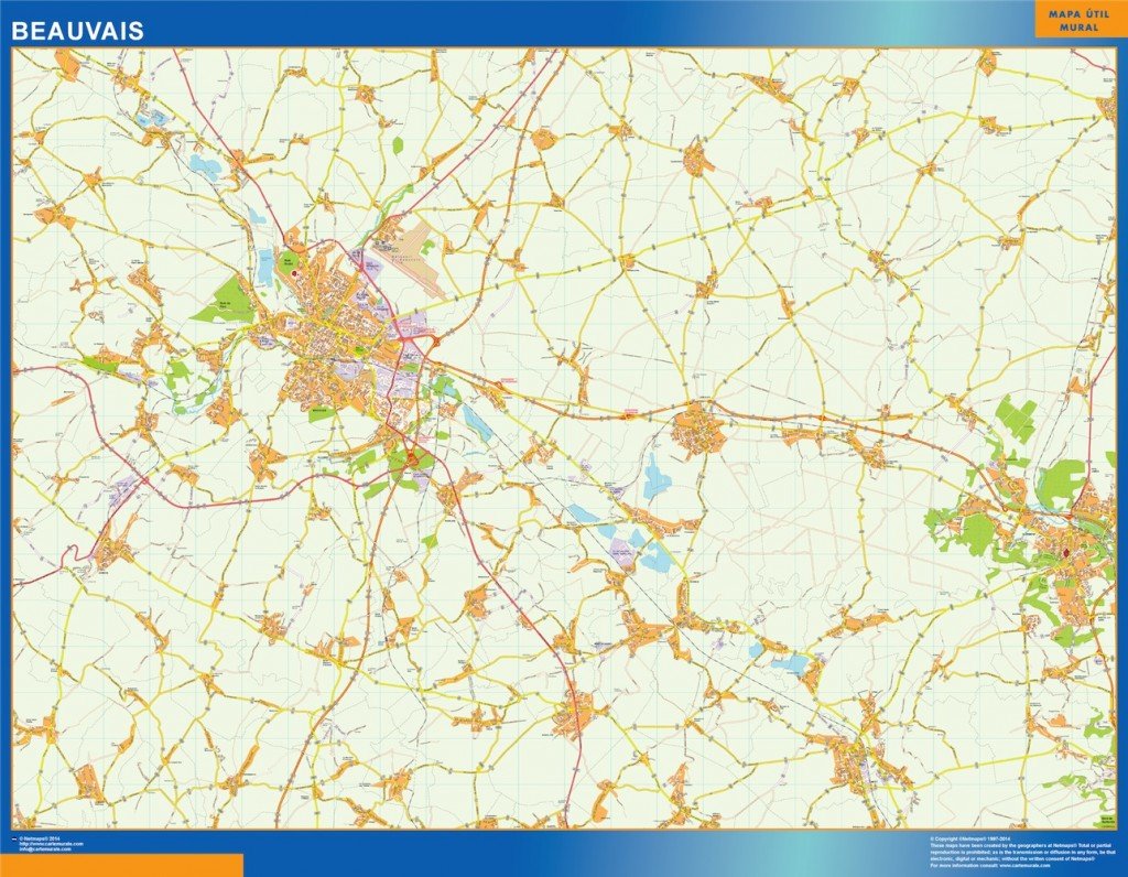
This vector map is available in popular formats such as digital EPS and AI Illustrator, providing fully editable layers for seamless customization. Users can modify every aspect of the map, allowing for personalized annotations and design adjustments that serve various creative projects.
Delivery of the Beauvais carte is efficient and convenient, with instant downloads available via WeTransfer and direct email links. This ensures clients receive their maps swiftly, ready for immediate use in presentations, reports, or promotional materials.
Clients enjoy full reproduction rights with the purchase of the vector map, ensuring that they can use the Beauvais carte in any manner desired. With satisfied customers in over 140 countries, this map product proves to be a valuable resource for planners, designers, and marketers alike.