Bordeaux carte
The vector map of Bordeaux carte showcases the stunning geography of Bordeaux, located in southwestern France, within the Nouvelle-Aquitaine region. The city, nestled along the banks of the Garonne River, is famous for its historic architecture and vibrant culture. Its geographical coordinates are approximately 44.8378° N latitude and 0.5792° W longitude, making it a key location near the Atlantic coast and the Spanish border.
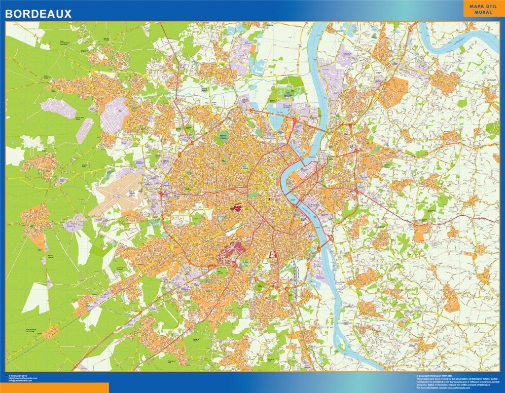
Available in versatile digital formats such as vector EPS and AI Illustrator, the Bordeaux carte is designed with fully editable layers. Users can easily customize and adapt the map to their unique needs, whether for professional presentations or personal projects.
Enjoy the convenience of instant delivery with your vector map of Bordeaux carte. Receive your files quickly via WeTransfer and email, ensuring you can begin your project without delay.
With full reproduction rights included, clients from over 140 countries can confidently utilize the Bordeaux carte in a wide range of applications, enhancing their projects with high-quality, editable mapping solutions.