Brazil blind
The vector map of 'Brazil blind' highlights the geographic features of South America's largest country, located between the Atlantic Ocean and the equator. Its coordinates are approximately 10°S latitude and 55°W longitude. Key points include vibrant cities like Brasília and São Paulo, iconic rivers like the Amazon, and borders shared with ten neighboring countries such as Argentina and Colombia.
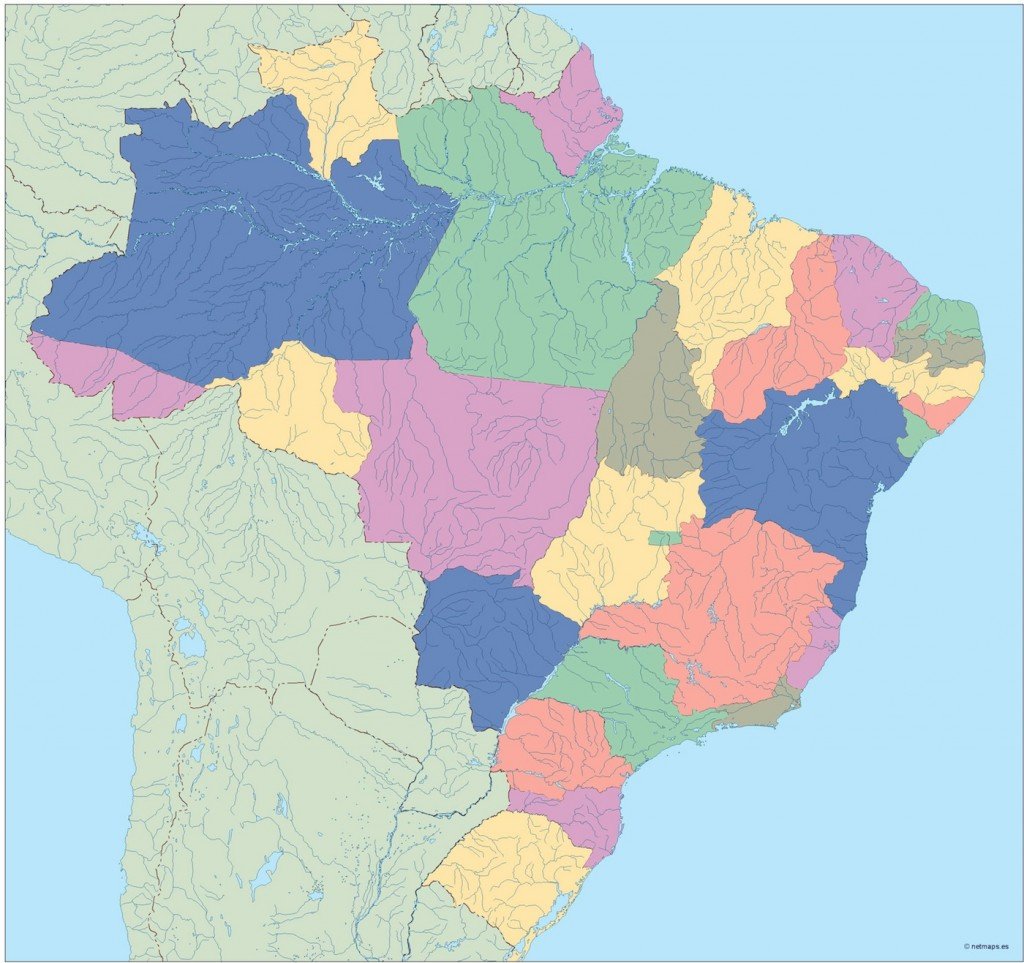
Available in versatile formats like digital vector EPS and AI Illustrator, this map is designed with fully editable layers. This flexibility allows designers and geographers to customize their projects easily, making it an ideal resource for various applications.
Customers can enjoy instant delivery of the vector map via WeTransfer or email, ensuring a seamless experience when accessing digital files.
Purchasing this vector map grants full reproduction rights, making it a favored choice among clients in over 140 countries for educational, commercial, and promotional purposes.