Sudan presentation 2025-12-06 06:00:12
The vector map of Sudan presentation vividly captures the geography of this northeastern African country, located between latitudes 22.0° N and 4.0° N. It features key points such as the capital city, Khartoum, positioned at the confluence of the Blue and White Nile rivers, and its borders with Egypt, Libya, Chad, the Central African Republic, South Sudan, and Eritrea.
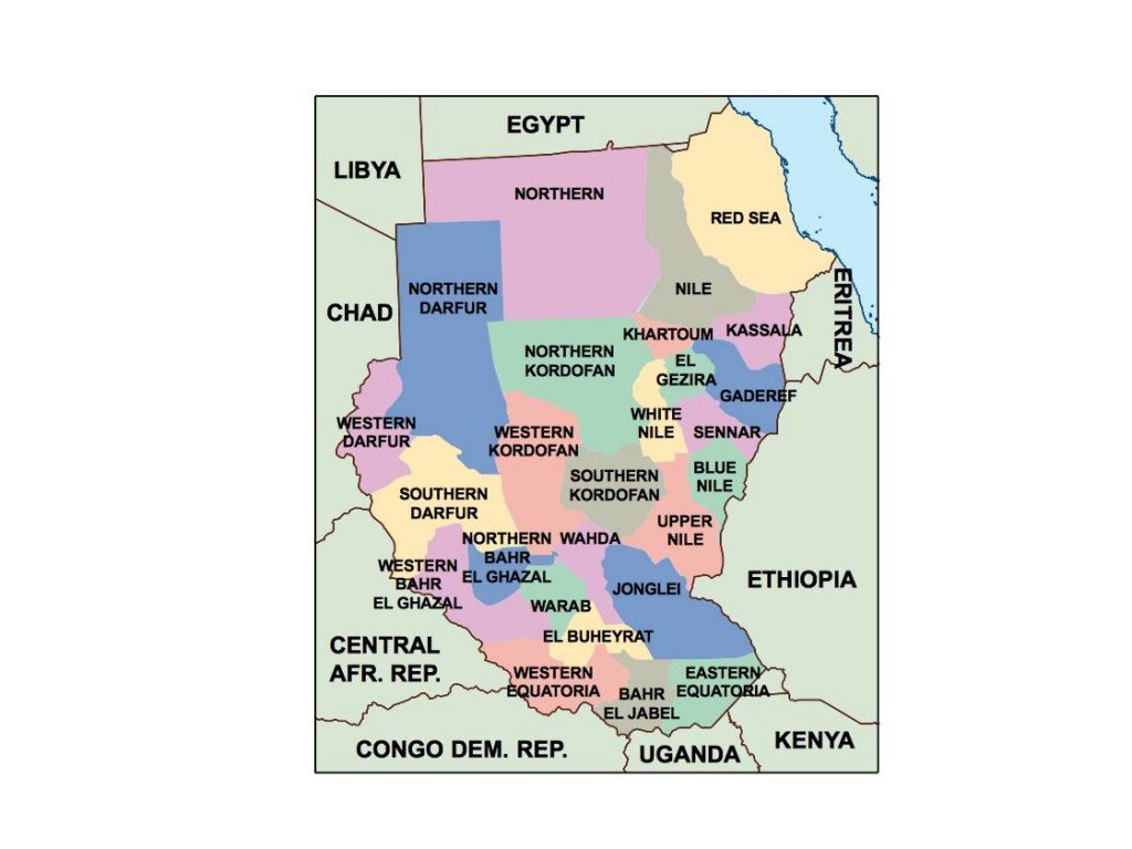
Available in digital vector formats like EPS and AI Illustrator, this map ensures versatility for various design projects. With fully editable layers, users can customize elements to capture specific geographical features or data, making it suitable for presentations, educational material, or marketing collateral.
Delivery is fast and efficient, with instant downloads available via WeTransfer or email. Clients can quickly access their vector map of Sudan without delay.
With full reproduction rights included, this product supports clients in over 140 countries, empowering them to create impactful projects that display the rich geography of Sudan prominently.