Djibouti
Djibouti is strategically located at the crossroads of Africa and the Arabian Peninsula, bordered by the Red Sea and Gulf of Aden, with coordinates approximately 11.8251° N latitude and 42.5903° E longitude. The capital city, Djibouti City, is a key urban center near the Arta River. The country shares borders with Eritrea and Somalia, making it a significant geographic area for trade and transport connections in the region.
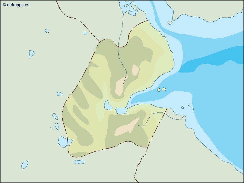
Our vector map of Djibouti is available in versatile formats, including digital vector EPS and AI Illustrator files, ensuring that users can access fully editable layers for seamless customization. This flexibility allows designers to create tailored visuals for various projects.
Upon purchase, you can enjoy instant delivery through WeTransfer as well as email, ensuring you can start working on your projects without delay.
With full reproduction rights included, clients from over 140 countries can use our vector maps without restrictions, making it an ideal choice for global projects focused on Djibouti.