France presentation
The vector map of France presentation showcases the country's geographical layout, featuring key locations like Paris, the Seine River, and its borders with neighboring nations such as Belgium, Luxembourg, Germany, Switzerland, Italy, Spain, and Monaco. With precise coordinates, this detailed map provides a comprehensive overview of France's diverse regions, making it an essential tool for various projects.
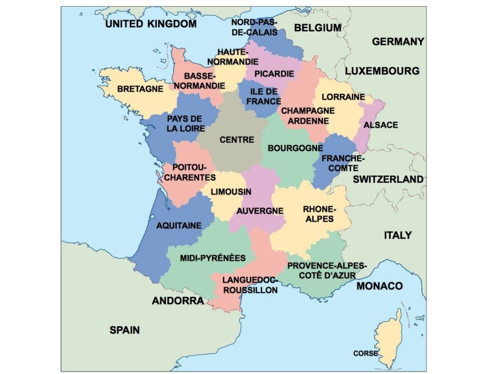
Available in versatile digital formats like EPS and AI Illustrator, the vector map is designed with fully editable layers. This compatibility ensures that users can customize the map to fit specific design needs, whether for educational materials, marketing campaigns, or geographical analyses.
Delivery is hassle-free, with instant download options available via WeTransfer and email. You can quickly access your vector map of France presentation, allowing you to start your project without delays.
With full reproduction rights included, clients from over 140 countries can confidently use the map for various applications, ensuring a seamless experience while respecting copyright ownership.