Togo political 2025-12-09 06:00:34
The Togo political vector map is an essential tool for understanding the geography of this West African nation. Located between Ghana to the west and Benin to the east, Togo stretches approximately 56,785 square kilometers, with coordinates around 8.6195° N latitude and 0.8248° E longitude. Key geographic points include the capital city, Lomé, and the prominent Mono River that serves as a natural border with neighboring countries.
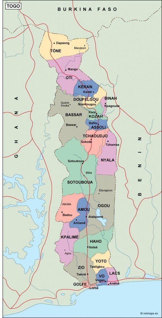
Available in multiple digital formats, the Togo political vector map comes in EPS and AI Illustrator files, ensuring full editability across all layers. Users can easily customize the map to highlight specific regions, borders, or urban areas, making it a versatile asset for presentations and reports.
Delivery of the Togo political vector map is hassle-free. Clients can instantly download their files through WeTransfer, with an additional option to receive them via email. This seamless process ensures quick access to the essential maps you need.
With full reproduction rights included, clients in over 140 countries can confidently utilize the Togo political vector map for commercial and educational purposes. Whether you’re a designer or educator, this editable map is perfect for showcasing Togo's intricate political landscape.