Honduras presentation
The vector map of Honduras presentation offers a comprehensive overview of this Central American nation. Located between Guatemala to the west, El Salvador to the southwest, and Nicaragua to the southeast, Honduras features diverse geography, including the Caribbean coastline and mountainous regions. Key points such as the capital city Tegucigalpa and the significant Río Choluteca are easily identifiable with precise coordinates, making navigation and understanding the area simpler.
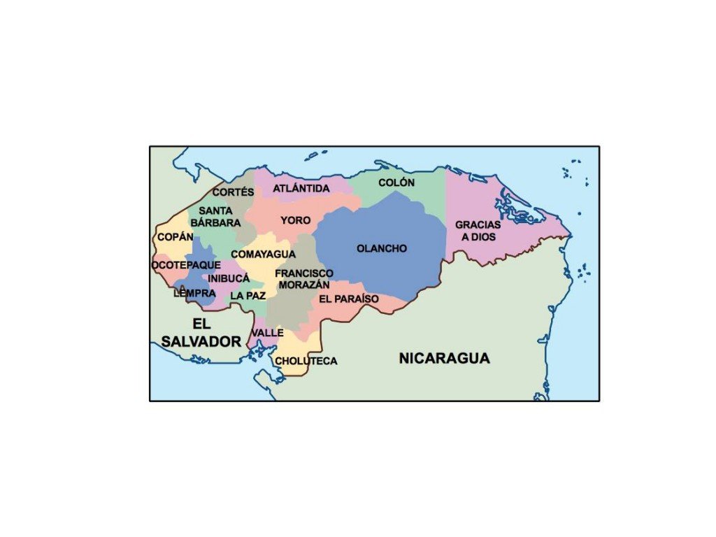
Available in digital vector formats like EPS and AI Illustrator, this map is perfect for customization and editing. Each layer is fully editable, allowing users to adapt the map for various projects, presentations, or educational purposes without compromising quality.
Instant download is made easy through WeTransfer and email delivery, ensuring you have immediate access to the vector map of Honduras presentation. This convenience allows for quick integration into your design workflow.
With full reproduction rights included, clients from over 140 countries can confidently utilize this vector map for commercial and personal projects. Enhance your presentations and designs with an accurate, editable representation of Honduras today!