Zielona gora mapy ścienne
The vector map of Zielona Góra, known as 'Zielona Góra mapy ścienne', presents an intricate geographical overview of this charming city in Poland. Located in the western part of the country, Zielona Góra is situated at coordinates 51.9352° N latitude and 15.5060° E longitude. Nestled in the Lubusz Voivodeship, it's near the scenic Oder River, contributing to its picturesque landscapes and vibrant cultural scene, close to the borders of Germany.
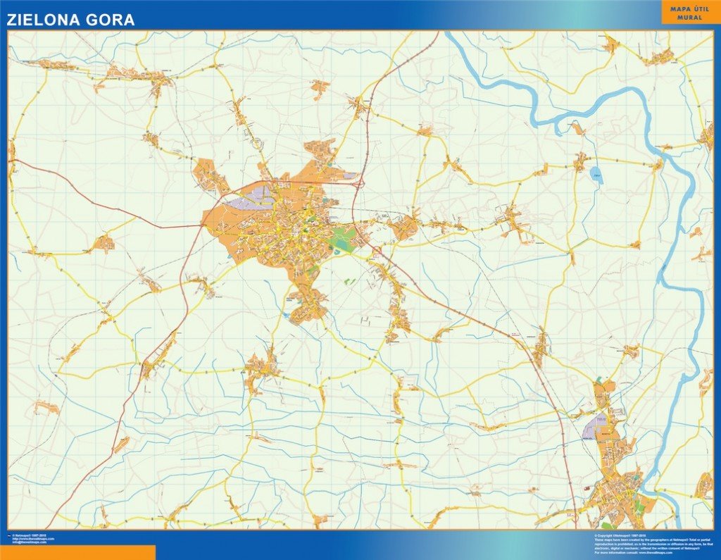
Available in digital vector formats, this map comes as an EPS and AI Illustrator file, designed for maximum flexibility. Each feature is stored in fully editable layers, allowing users to customize the map according to their specific needs, whether for print or digital use. This compatibility ensures effortless modifications for any projects requiring precise geographic details.
Delivery is seamless and efficient with instant download options provided through WeTransfer and email. This means clients can access their vector map of Zielona Góra quickly, facilitating immediate use in various applications. The straightforward process makes it convenient for educators, businesses, and planners alike.
When you purchase the vector map, you receive full reproduction rights, enhancing its value for businesses and individuals alike. With clients in over 140 countries