Mali
Mali, located in West Africa, is a landlocked country bordered by Algeria to the north and Niger to the east. It spans latitudes 10° to 25° N and longitudes 10° to 30° W, featuring key geographical highlights such as the Niger River and the bustling capital, Bamako. The vector map of Mali provides a detailed representation of its diverse terrains and rich cultural regions.
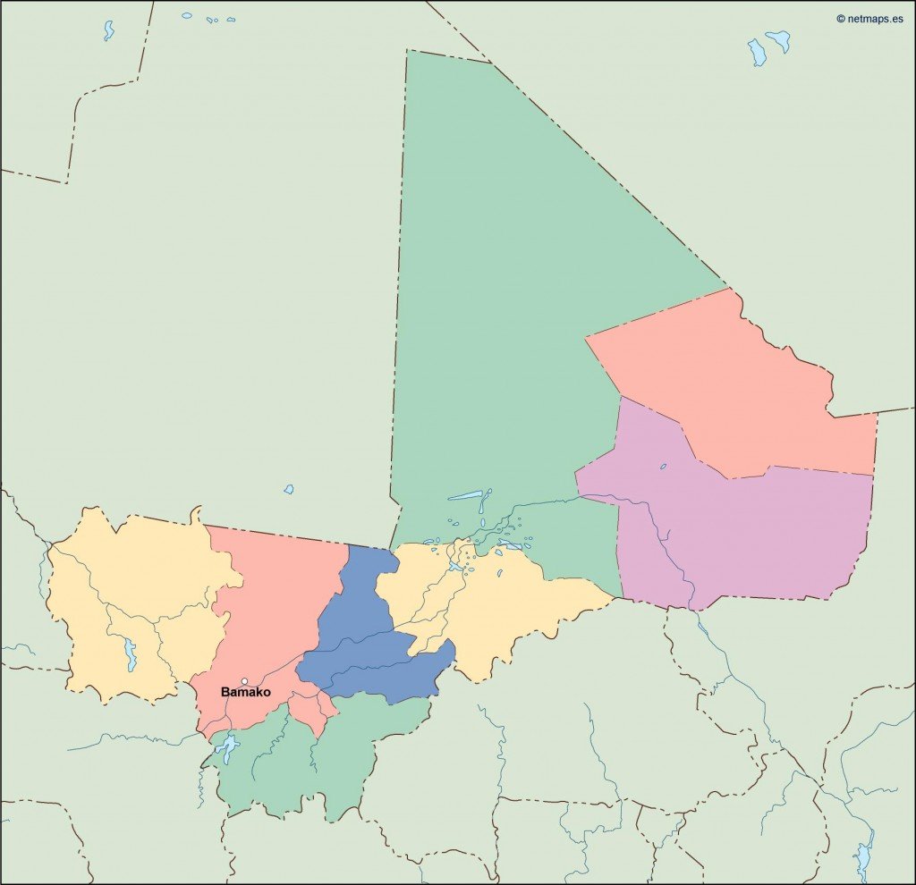
Available in versatile formats like digital vector EPS and AI Illustrator, this vector map of Mali is fully editable with layers, allowing for customization to suit various design needs. Users can easily modify geographical elements, making it an excellent tool for both professional and personal projects.
Upon purchase, you’ll receive instant access to the map via WeTransfer and email, ensuring a convenient and swift delivery. This efficient process allows for immediate use in presentations, research, or design tasks.
With full reproduction rights included, our vector map of Mali is a valuable resource for clients in over 140 countries. Whether you’re designing educational materials or creating marketing campaigns, this map serves as a reliable foundation for your work, fully compliant with your creative needs.