Marshall islands
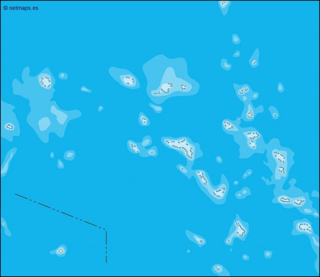
The vector map of the Marshall Islands is a detailed representation of this picturesque Pacific nation, located near the Equator between Hawaii and Australia. Comprised of 29 atolls and islands, the region features key locations like Majuro, the capital city, and Ebeye, along with notable coastlines and lagoons. With coordinates approximately 7°N latitude and 171°E longitude, the Marshall Islands present both geographical beauty and unique challenges.
Our vector maps are available in multiple formats, including digital vector EPS and AI Illustrator, ensuring full compatibility with your design projects. Each layer is fully editable, allowing you to customize the map to suit your needs, making it ideal for educational materials, presentations, or design applications.
Upon purchase, you will receive an instant download of the vector map via WeTransfer and email, ensuring quick access for your immediate project needs. This efficient delivery method guarantees you can start using your map without delay.
Enjoy complete reproduction rights with your purchase, which encompasses clients from over 140 countries. Whether for personal or commercial use, our vector map of the Marshall Islands provides flexibility and quality for all your mapping needs.