Mozambique
Mozambique is a country located in Southeast Africa, bordered by the Indian Ocean to the east, Tanzania to the north, and South Africa and Eswatini to the southwest. Key geographical features include the capital city, Maputo, the Zambezi River, and the Gorongosa National Park. The coordinates of Mozambique are approximately 18.6657° S latitude and 35.5299° E longitude, making it a unique destination within the African region.
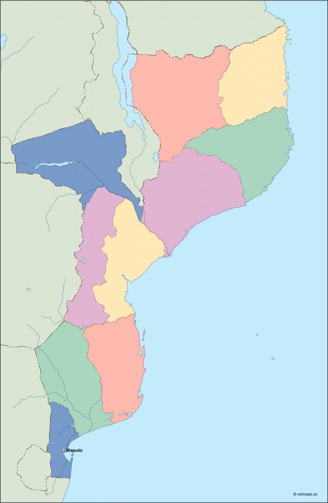
Our vector map of Mozambique is available in popular digital formats like EPS and AI Illustrator, ensuring full compatibility with your design software. This map features fully editable layers, allowing you to customize elements easily for your specific needs, whether for educational, professional, or personal projects.
Enjoy the convenience of instant download of your vector map of Mozambique through WeTransfer or direct email delivery. This streamlined process encourages quick access to your new map, so you can start working on your project without delay.
When you purchase our vector map, you receive full reproduction rights, granting you the freedom to use the artwork for various commercial and non-commercial purposes. Clients in over 140 countries trust our products for their versatility and quality, making our Mozambique map an excellent choice for designers and educators worldwide.