Niger presentation
The vector map of Niger presentation showcases the country's diverse geography, located in West Africa. Borders include Libya to the northeast, Chad to the east, Nigeria to the south, and Mali and Burkina Faso to the west, with key highlights such as the Niger River running through it and major cities like Niamey, the capital. With coordinates approximately 17°N latitude and 8°E longitude, this map serves as a vital resource for geographical insights.
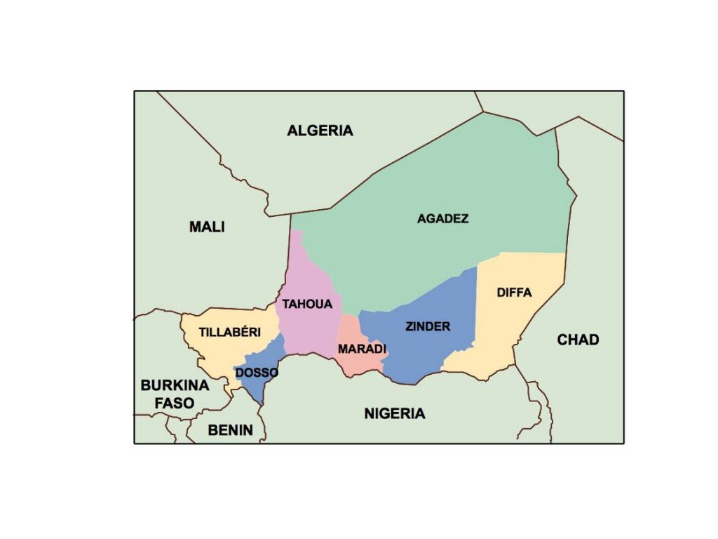
Offered in high-quality digital vector formats like EPS and AI Illustrator, this map features fully editable layers, allowing users to customize visual elements as needed. Such flexibility makes it perfect for various applications, from academic reports to intricate designs, ensuring a tailored approach to presentation.
Upon purchase, clients benefit from an instant download delivered via WeTransfer and email, making access seamless and efficient. This rapid delivery system enables quick integration of the map into projects without delay.
Clients enjoy full reproduction rights with the vector map of Niger presentation, ensuring their use is legal and comprehensive. With clients spanning over 140 countries, this map is trusted globally for its accuracy and adaptability, making it a preferred choice for various professional needs.