South africa
The vector map of South Africa provides a detailed depiction of the country's geography, showcasing its location at the southern tip of the African continent. This vibrant region is bordered by Namibia, Botswana, Zimbabwe, Mozambique, and the Indian and Atlantic Oceans. Key points on the map include major cities like Johannesburg, Cape Town, and Durban, as well as significant rivers like the Limpopo and Vaal, making it an invaluable resource for educators and planners alike.
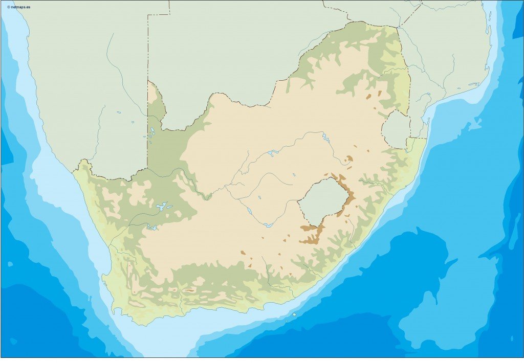
Available in digital formats such as EPS and AI Illustrator, this South African vector map features fully editable layers. This flexibility allows users to customize their maps to suit various needs, from academic presentations to marketing materials, all while maintaining high-quality resolution.
Upon purchase, users can enjoy the convenience of instant download through WeTransfer and email. This efficient delivery method ensures that you can start using your vector map of South Africa without delay, perfect for time-sensitive projects.
With full reproduction rights included in every purchase, clients in over 140 countries can confidently utilize the South Africa vector map for commercial and personal projects. This assurance enhances your creative possibilities, empowering professionals to craft engaging visual content without legal concerns.