Uruguay 2025-12-03 00:00:36
Explore the vector map of Uruguay, a stunning illustration of this South American country, nestled between Brazil and Argentina. With its coordinates approximately 32°S latitude and 56°W longitude, this map highlights key points such as the vibrant capital city, Montevideo, and the winding Uruguay River that defines part of its border.
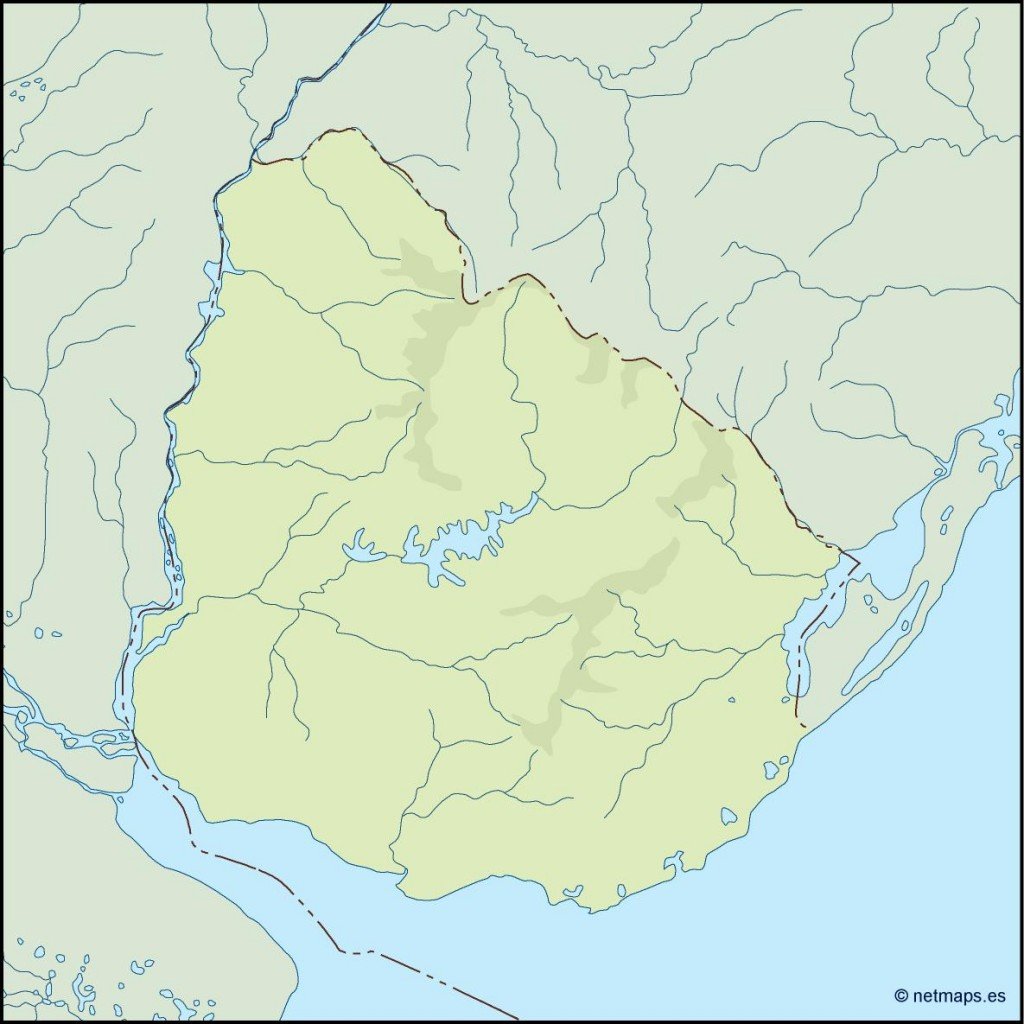
Available in digital vector formats like EPS and AI Illustrator, this fully editable map allows for easy customization to meet your design needs. Each layer is separated, ensuring you can manipulate geographic features effortlessly.
Once purchased, receive your vector map of Uruguay instantly via WeTransfer, with an additional email confirmation for convenience.
Enjoy full reproduction rights, making this map suitable for both personal and commercial projects. Join our satisfied clients in over 140 countries benefiting from our high-quality resources!