Uruguay political
Uruguay is a South American nation located between Brazil and Argentina, with coordinates 32.5280° S, 55.7651° W. It boasts a variety of geographical features, including the capital city Montevideo, the Uruguay River, and picturesque coastal towns along its Atlantic shoreline. The political vector map of Uruguay highlights key regions, borders, and important cities, making it an essential tool for anyone seeking to understand the country's layout.
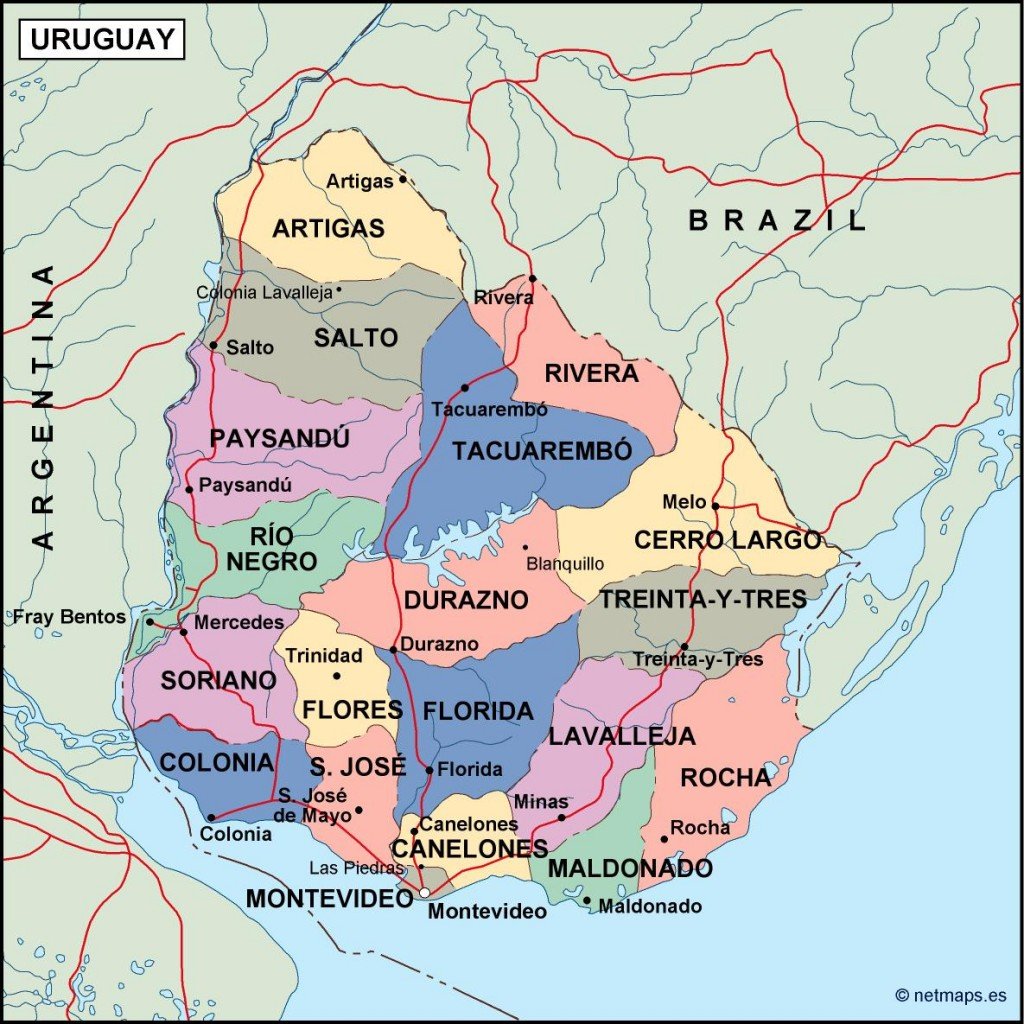
Available in digital vector formats such as EPS and AI Illustrator, our vector map of Uruguay provides fully editable layers, allowing users to customize elements according to their specific needs. This flexibility makes it ideal for graphic designers, educators, and professionals needing accurate geographic representations.
Enjoy the convenience of instant downloads via WeTransfer or email, ensuring that your political vector map of Uruguay is readily accessible. The streamlined delivery process allows you to quickly begin your project without delay.
With full reproduction rights, clients from over 140 countries can confidently use our vector map of Uruguay for commercial and personal projects. This comprehensive resource is perfect for publications, presentations, and visual materials.