World peters presentation 2025-11-22 12:01:29
The vector map of the World Peters Presentation showcases a unique geographical representation that emphasizes accurate proportions of countries and regions. With precise coordinates, users can easily locate key points such as major cities, significant rivers, and borders, making it an invaluable resource for educators, geographers, and travelers alike.
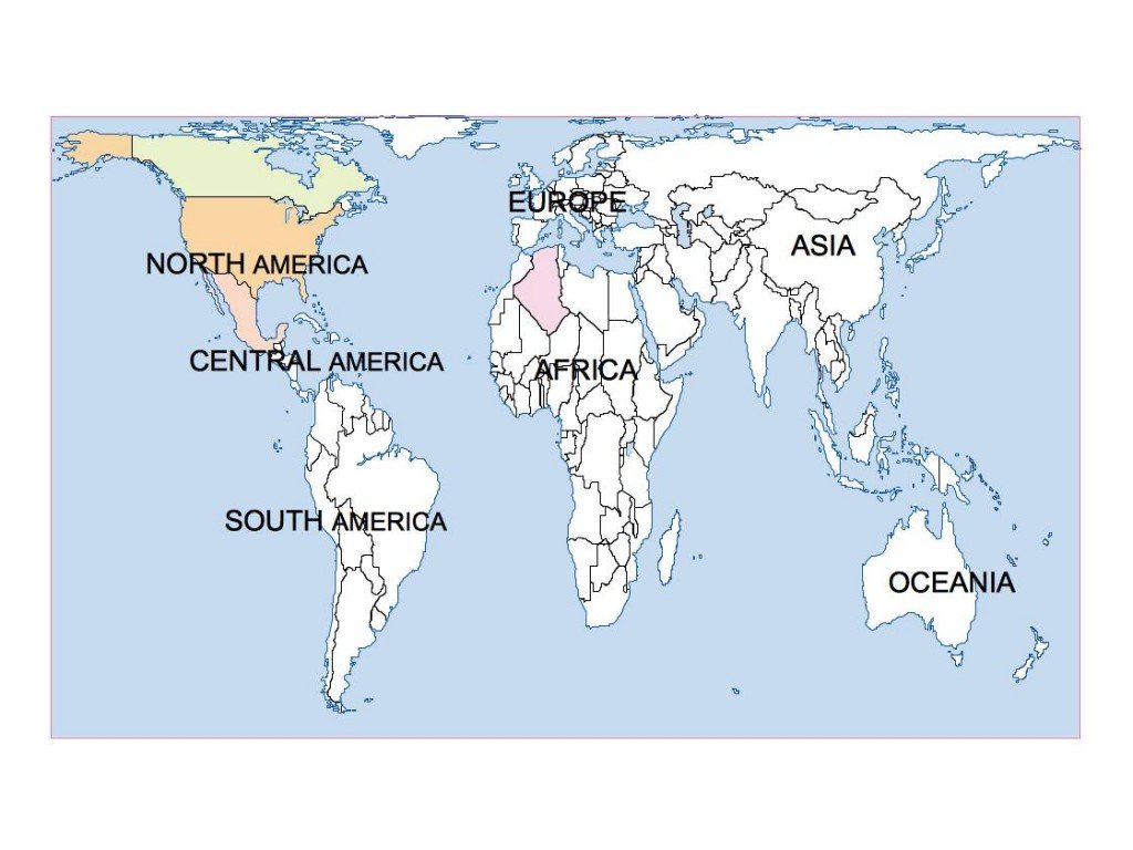
Available in versatile digital formats like EPS and AI Illustrator, this vector map offers fully editable layers that allow users to customize their maps to suit specific needs, enhancing both aesthetics and functionality. Whether you’re creating presentations or educational materials, the flexibility of this map is a tremendous asset.
Delivery is hassle-free with instant download options via WeTransfer and email, ensuring you have immediate access to your vector map upon purchase. This efficiency guarantees that you can start your projects without delay.
Clients benefit from full reproduction rights, with our services reaching over 140 countries. This extensive availability makes our World Peters Presentation vector map an excellent choice for diverse applications, from commercial projects to educational uses.