World peters presentation
Explore the World Peters presentation vector map, a unique representation of geography that emphasizes accurate country sizes and shapes. This map captures essential elements, including major cities, renowned rivers, and intricate borders, all located precisely with coordinates, making it an invaluable resource for educators, businesses, and enthusiasts alike.
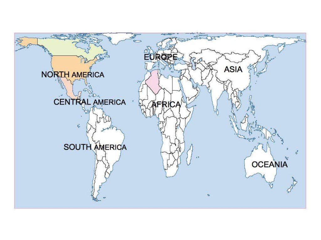
Available in versatile digital formats like EPS and AI Illustrator, this vector map is fully editable, allowing designers to customize layers effortlessly. Whether you're creating educational materials or engaging presentations, the map’s adaptable features suit all project needs.
Experience the convenience of instant delivery through WeTransfer and email, ensuring quick access to your World Peters presentation vector map. You can start your project without any delays, transforming your vision into reality fast.
With full reproduction rights included, this product caters to clients in over 140 countries. Leverage this expertly crafted vector map to enhance your presentations and communicate complex geographic information effectively.