Tonga political
Tonga is an archipelago located in the South Pacific Ocean, comprising 176 islands, with the main islands including Tongatapu and Vava'u. Known for its vibrant culture and stunning landscapes, Tonga's political map showcases its capital, Nuku'alofa, while highlighting geographical features such as coastlines and surrounding waters. The coordinates of Tonga are approximately 21°S latitude and 175°W longitude.
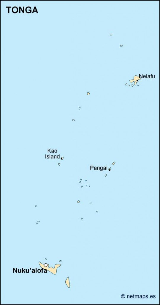
The vector map of Tonga political is available in versatile formats, including digital vector EPS and AI Illustrator. Each component of the map is fully editable, allowing users to customize colors, labels, and layers to suit their specific needs. This flexibility makes it an invaluable resource for designers and educators alike.
Upon purchase, customers can enjoy instant delivery via WeTransfer or email, ensuring immediate access to their Tonga political vector map. Convenient and efficient, this service allows users to start their projects without delay.
Clients from over 140 countries benefit from full reproduction rights included with their purchase, making the Tonga political map an ideal choice for commercial and educational purposes. Secure your fully editable vector map today and elevate your projects with high-quality geographical resources.