China political
China, located in East Asia, is the world's most populous country and boasts a diverse geography that includes mountains, plateaus, and vast river systems. With coordinates ranging from approximately 18°N to 54°N latitude and 73°E to 135°E longitude, its political map showcases key cities like Beijing, Shanghai, and Guangzhou, alongside major rivers such as the Yangtze and Yellow River, and its extensive borders with 14 neighboring countries.
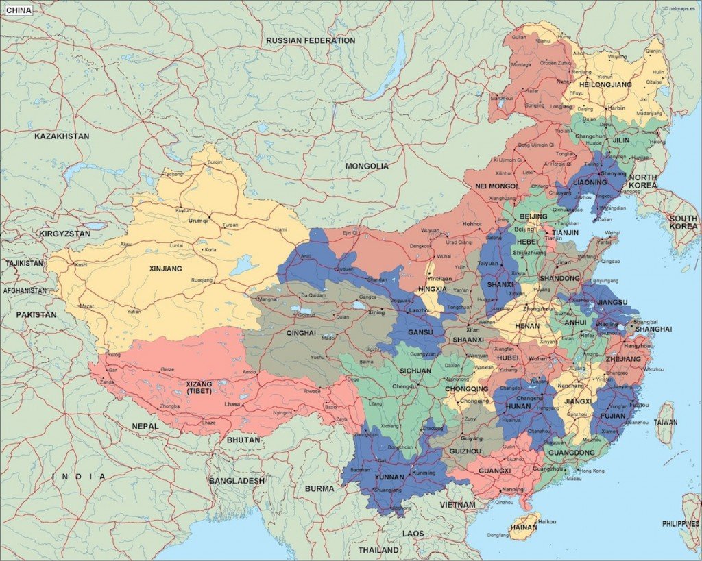
Our vector map of China political is available in high-quality digital formats, including EPS and AI Illustrator files. This fully editable map features layers that allow users to customize and enhance their projects seamlessly, making it an essential tool for designers and educators alike.
For your convenience, we offer instant delivery via WeTransfer and email, ensuring that you can access your map promptly. With just a few clicks, you can incorporate this vital resource into your work or presentations.
Clients from over 140 countries benefit from our vector map, as it comes with full reproduction rights. Whether for commercial or educational purposes, this map offers an invaluable reference for anyone looking to represent China's intricate political boundaries accurately.