Eritrea 2025-12-01 18:00:24
Eritrea, located in the Horn of Africa, boasts a strategic geographical position bordered by the Red Sea to the east and neighboring countries like Sudan and Ethiopia. Its coordinates are approximately 15°N latitude and 39°E longitude, featuring key cities like Asmara and the vital Barka River. The vector map of Eritrea showcases its diverse landscapes, from coastal areas to mountainous regions, making it an essential tool for geographers and planners.
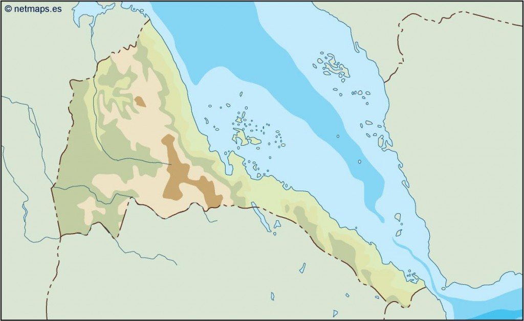
This vector map of Eritrea is available in digital formats, including EPS and AI Illustrator, allowing for fully editable layers. Users can easily make adjustments, ensuring the map meets specific project requirements. The vector format guarantees high quality and scalability for any presentation or print.
Once purchased, the map can be instantly downloaded via WeTransfer or sent directly to your email, providing quick access for urgent needs. This seamless delivery ensures you can start your project without delay.
Clients in over 140 countries benefit from full reproduction rights included with their purchase, allowing for extensive use in various applications. The vector map of Eritrea is perfect for businesses, educators, and non-profits, enabling them to effectively communicate geographic information while adhering to licensing agreements.