Madagascar
The vector map of Madagascar provides a detailed representation of this unique island nation located off the southeastern coast of Africa. Known for its diverse ecosystems, Madagascar's coordinates are approximately 18.7669° S latitude and 46.8691° E longitude. Key geographical points include the vibrant capital city, Antananarivo, the majestic Tsiribihina River, and the borders shared with the surrounding Indian Ocean, making it an essential resource for geographers and explorers.
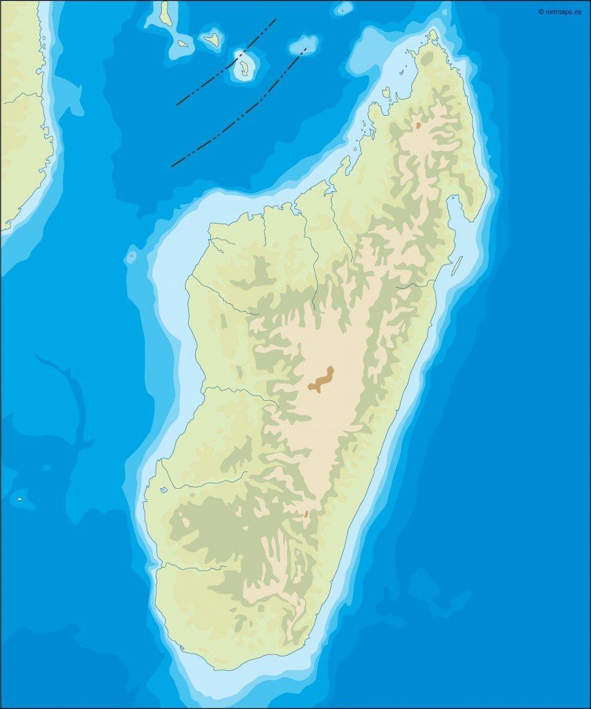
Available in digital vector formats such as EPS and AI Illustrator, this map is fully editable, allowing users to customize layers and details as needed. Whether modifying city names or changing color schemes, the flexibility of these formats caters to designers, educators, and professionals requiring tailored geographical information.
Upon purchase, you can enjoy instant delivery via WeTransfer and email, ensuring you have quick access to your vector map of Madagascar. This efficient process enables you to start your projects without delay, making it perfect for urgent needs or last-minute designs.
With full reproduction rights included, our vector map of Madagascar is a valuable tool for clients in over 140 countries. From marketing materials to educational resources, clients can confidently use this map in various applications, ensuring worldwide accessibility and versatile usage.