Algeria presentation
Algeria, located in North Africa, is the largest country on the continent, bordered by the Mediterranean Sea to the north and sharing borders with several countries, including Tunisia and Libya. Its geographical coordinates are approximately 28°N latitude and 3°E longitude. The country's key highlights include the vibrant capital, Algiers, the majestic Sahara Desert, and the significant rivers such as the Chelif and the Seybouse, making it a diverse landscape for exploration.
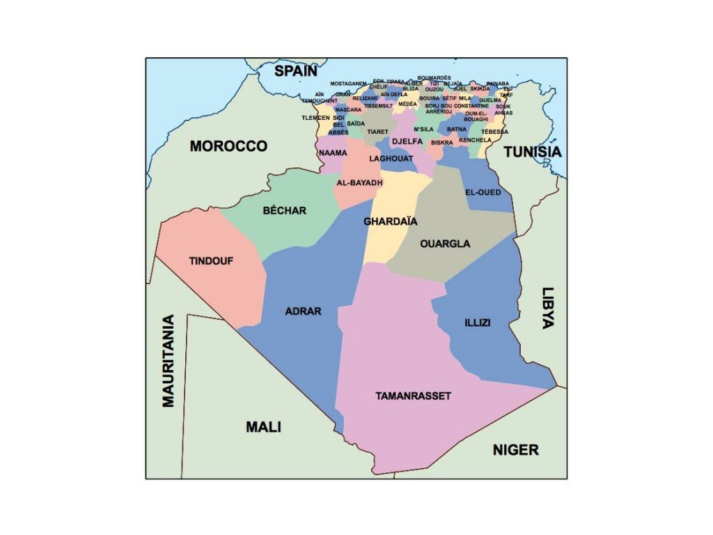
Our vector map of Algeria is available in multiple digital formats, including EPS and Adobe Illustrator (AI), ensuring high-quality and versatility for various projects. With fully editable layers, you can customize the map to suit your specific needs, whether for presentations, educational use, or design work.
Experience the convenience of instant delivery with our vector map, available for quick download via WeTransfer and email. This seamless process allows you to get started on your projects without delay.
Clients from over 140 countries enjoy full reproduction rights, making this vector map of Algeria an excellent resource for businesses, educators, and creatives. Secure your editable map today and showcase the beauty of Algeria in your work!