Bangladesh political
Bangladesh is located in South Asia, bordered by India to the west, north, and east, Myanmar to the southeast, and the Bay of Bengal to the south. Its geographical coordinates are approximately 23.685 degrees N latitude and 90.3563 degrees E longitude. Key cities include Dhaka, the capital, and Chittagong, alongside prominent rivers such as the Jamuna, Padma, and Meghna, making the vector map of Bangladesh political essential for understanding regional dynamics.
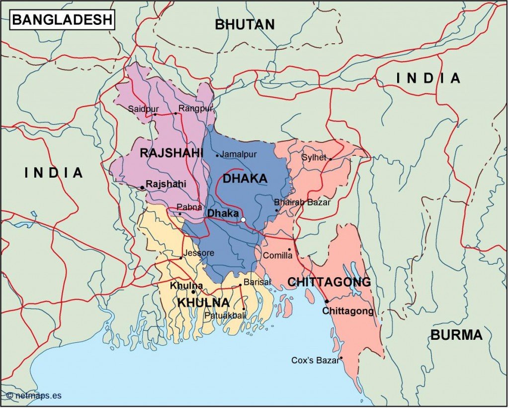
The vector map of Bangladesh political is available in multiple digital formats, including EPS and AI Illustrator, ensuring compatibility with various design software. These maps feature fully editable layers, allowing users to customize and modify elements according to their specific requirements.
Upon purchase, clients receive instant access to the vector map via WeTransfer or email, ensuring a hassle-free download experience. This prompt delivery system guarantees that users can start their projects without unnecessary delays.
Clients are granted full reproduction rights with the purchase of the vector map. With satisfied customers in over 140 countries, this resource is trusted for its quality and versatility, making it an ideal choice for professionals needing a detailed and editable map of Bangladesh.