Djibouti blind
The vector map of Djibouti blind offers an accurate representation of this unique East African nation, strategically located at the southern entrance to the Red Sea, bordered by Eritrea and Ethiopia. Djibouti's coordinates are approximately 11.8251° N latitude and 42.5903° E longitude, featuring key geographical points such as its capital Djibouti City and the picturesque Gulf of Tadjoura, as well as the historic River Ambouli which flows through the region.
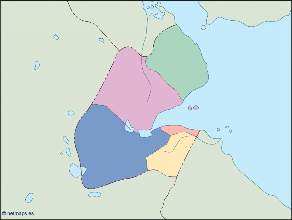
Available in versatile digital formats including EPS and AI Illustrator, this vector map comes with fully editable layers, enabling users to customize it for various projects. Whether it's for educational materials, presentations, or travel guides, this map provides the flexibility needed for any creative endeavor.
Upon purchase, you can enjoy instant delivery via WeTransfer or email, ensuring you have immediate access to your vector map of Djibouti blind. We prioritize a seamless download experience so you can start your project without delay.
Clients from over 140 countries can benefit from our comprehensive rights package, which includes full reproduction rights for the vector map. This allows you to confidently use and adapt the map for commercial or personal projects, enhancing your work with a professionally designed representation of Djibouti.