Bielefeld wandkarten
Bielefeld, a city in North Rhine-Westphalia, Germany, is located at coordinates 52.0305° N, 8.5325° E. This vibrant urban area is characterized by its historical sites, such as the Sparrenburg Castle, and its picturesque landscapes along the Teutoburg Forest. Its geographical position makes it easily accessible, nestled between major cities like Hanover and Dortmund.
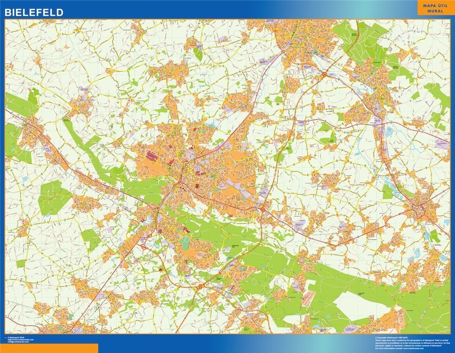
Our Bielefeld wandkarten vector map comes in versatile digital formats, including EPS and AI Illustrator. Each map features fully editable layers, allowing users to customize elements according to their specific needs. This level of flexibility makes the Bielefeld map perfect for both professional designers and casual projects.
Upon purchase, customers can enjoy instant download via WeTransfer and email. This convenient delivery method ensures that you receive your Bielefeld wandkarten quickly, so you can start your project without delay.
With full reproduction rights included in your purchase, you can use the Bielefeld vector map for various applications, whether for business or personal use. Our clients span over 140 countries, reflecting the universal appeal and practicality of our maps.