Luxembourg blind
The vector map of Luxembourg blind is a highly detailed representation of this small, landlocked country located in Western Europe. Nestled between Belgium, Germany, and France, Luxembourg is known for its picturesque landscapes and urban centers like Luxembourg City. Key geographical features include the Alzette River and the country’s proximity to several borders, with coordinates approximately 49.6118° N latitude and 6.1319° E longitude.
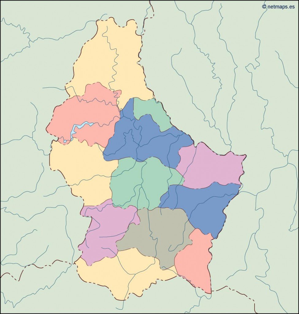
Available in convenient digital formats such as EPS and AI Illustrator, the Luxembourg blind vector map offers fully editable layers for customizations tailored to your needs. This makes it an excellent resource for designers looking to create specialized maps or graphic materials with ease.
Delivery is hassle-free, with instant downloads provided via WeTransfer or email, ensuring you receive your vector map promptly. Our user-friendly service allows for immediate access to high-quality files.
When you purchase the Luxembourg blind vector map, you benefit from full reproduction rights, making it ideal for commercial and personal use. Clients from over 140 countries trust our quality and expertise, contributing to our global reach in the mapping industry.