New zealand political 2025-11-28 18:00:34
New Zealand, situated in the southwestern Pacific Ocean, is made up of two main islands: the North Island and the South Island. Known for its stunning landscapes, the country lies between latitudes 34° and 47° S and longitudes 166° and 179° E. Key features include bustling cities like Auckland and Wellington, as well as the scenic lakes and rivers that define its geography, including the Waikato River and the rugged Southern Alps along its borders.
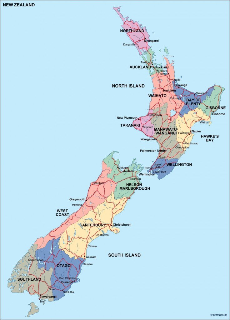
Our New Zealand political vector map is available in multiple formats, including digital vector EPS and AI Illustrator, ensuring unmatched compatibility for your design projects. The fully editable layers make it easy for you to customize the map to suit your specific needs, whether you’re creating educational materials or marketing presentations.
With an instant download option, receiving your New Zealand political vector map is quick and hassle-free. Access the file via WeTransfer or have it delivered directly to your email, ensuring you can start your project without delay.
Clients from over 140 countries enjoy full reproduction rights with our vector maps, offering peace of mind for those who wish to use it for commercial or personal purposes. Invest in high-quality graphics that enhance your work with ease!